- Alternative title
-
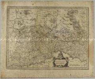
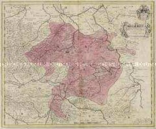
BAVARIA / DVCATVS, / Per Ger. Mercatorem.
- Material/Technique
-
Papier : Leinwand, Kupferstich
- Measurements
-
Höhe x Breite: 40,5 x 54 cm (Blatt)
Höhe x Breite: 36,5 x 47,8 cm (Karte)
Höhe x Breite: 38,5 x 49,7 cm (Platte)
- Location
-
Deutsches Historisches Museum, Berlin
- Inventory number
-
Do 2006/1229
Subject (what)
Bayern
Classification
Kartografie (Gattung)
Event
Herstellung
(who)
Stecher, Kartograf, Geograph, Astronom, Landvermesser, Verleger: Gerard Mercator
Verleger, Stecher: Willem Janszoon Blaeu
Verleger, Stecher: Willem Janszoon Blaeu
(where)
Deutschland Niederlande
(when)
um 1550
- Rights
-
Deutsches Historisches Museum
- Last update
-
24.03.2023, 9:30 AM CET
Object type
- Regionalkarte
Associated
- Stecher, Kartograf, Geograph, Astronom, Landvermesser, Verleger: Gerard Mercator
- Verleger, Stecher: Willem Janszoon Blaeu
Time of origin
- um 1550
Other Objects (12)
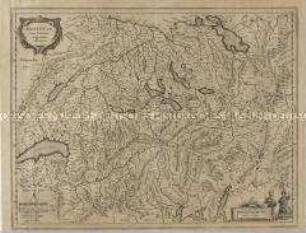
Helvetia, cum finitimis regionibus confoederatis.
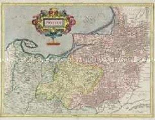
Prussia
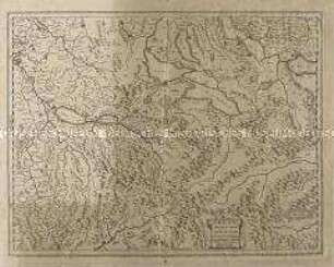
Argow cum parte merid. Zurichgow

Pomeraniae Ducatus Tabula
Karte: Beschreibung der Schweiz
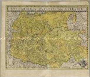
Lotharingia Ducatus
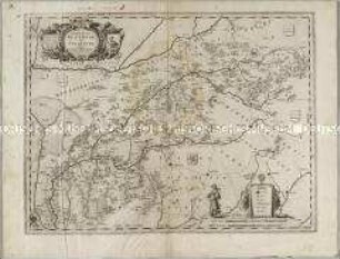
Palatinatus Bavariae
Comitatus Bentheim, et Steinfurt
Transylvania Sibenburgen
Brandenburgum Marchionatus
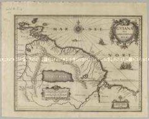
Guiana sive Amazonum Regio
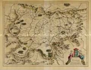
Mansfeldia Comitatus
Helvetia, cum finitimis regionibus confoederatis.
Prussia
Argow cum parte merid. Zurichgow
Pomeraniae Ducatus Tabula
Karte: Beschreibung der Schweiz
Lotharingia Ducatus
Palatinatus Bavariae
Comitatus Bentheim, et Steinfurt
Transylvania Sibenburgen
Brandenburgum Marchionatus
Guiana sive Amazonum Regio