- Alternativer Titel
-
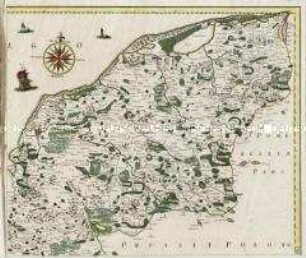
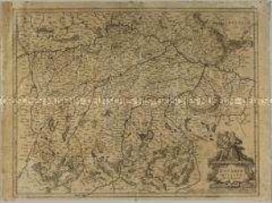
DUCATUS / POMERANIAE / novißima Tabula / in anteriorem et interiorem divisa, quatenus subsunt
- Standort
-
Deutsches Historisches Museum, Berlin
- Inventarnummer
-
Do 2006/523
- Maße
-
Höhe x Breite: 56,5 x 63,8 cm (Blatt)
Höhe x Breite: 46,8 x 54,7 cm (Karte)
Höhe x Breite: 49,2 x 57,3 cm (Platte)
- Material/Technik
-
Druckfarbe, Papier, Kupferstich, koloriert
- Klassifikation
-
Kartografie (Gattung)
- Bezug (was)
-
Pommern
Polen
Mecklenburg-Vorpommern
- Ereignis
-
Herstellung
- (wer)
-
Verleger, Kupferstecher, Geograph, Kartograf: Johann Baptist Homann
- (wo)
-
Nürnberg, Deutschland
- (wann)
-
um 1720
- Rechteinformation
-
Deutsches Historisches Museum
- Letzte Aktualisierung
-
24.03.2023, 09:29 MEZ
Datenpartner
Dieses Objekt wird bereitgestellt von:
Stiftung Deutsches Historisches Museum. Bei Fragen zum Objekt wenden Sie sich bitte an den Datenpartner.
Stiftung Deutsches Historisches Museum. Bei Fragen zum Objekt wenden Sie sich bitte an den Datenpartner.
Objekttyp
- Regionalkarte
Beteiligte
- Verleger, Kupferstecher, Geograph, Kartograf: Johann Baptist Homann
Entstanden
- um 1720
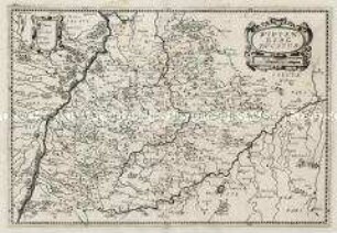
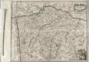
Ähnliche Objekte (12)

Ducatus Pomeraniae
Pomeraniae Ducatus Tabulam
Pomeraniae Ducatus Tabula
Ducatus Pomeraniae Citerioris Et Ulterioris
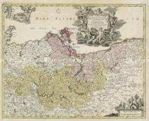
Tabula Marchionatus Brandenburgici Et Ducatus Pomeraniae
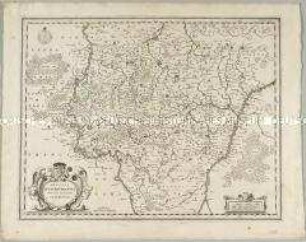
Ducatus Lutzenburgensis
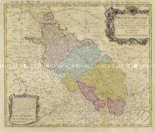
Ducatus Silesiae
Bavaria Ducatus
Wirtenberg Ducatus
Ducatus Breslanus
Bavaria Ducatus
Mekelnburg Ducatus
Ducatus Pomeraniae
Pomeraniae Ducatus Tabulam
Pomeraniae Ducatus Tabula
Ducatus Pomeraniae Citerioris Et Ulterioris
Tabula Marchionatus Brandenburgici Et Ducatus Pomeraniae
Ducatus Lutzenburgensis
Ducatus Silesiae
Bavaria Ducatus
Wirtenberg Ducatus
Ducatus Breslanus
Bavaria Ducatus