- Alternative title
-
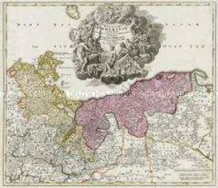
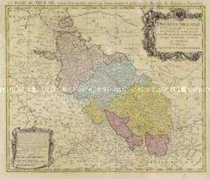
DUCATUS / POMERANIAE / CITERIORIS / ET
- Location
-
Deutsches Historisches Museum, Berlin
- Inventory number
-
Do 2006/467.1-6
- Measurements
-
Höhe x Breite: 57 x 65,3 cm (Blatt 1)
Höhe x Breite: 46,7 x 54,7 cm (Karte 1)
Höhe x Breite: 50,2 x 57 cm (Platte 1)
- Material/Technique
-
Druckfarbe, Papier, Kupferstich, koloriert
- Classification
-
Kartografie (Gattung)
- Subject (what)
-
Pommern
Mecklenburg-Vorpommern
Pommersche Bucht
Stettiner Haff
- Event
-
Herstellung
- (who)
-
Kartograf, Kupferstecher: Albrecht Carl Seutter
- (where)
-
Augsburg, Deutschland
- (when)
-
um 1750
- Rights
-
Deutsches Historisches Museum
- Last update
-
24.03.2023, 9:31 AM CET
Data provider
This object is provided by:
Stiftung Deutsches Historisches Museum. If you have any questions about the object, please contact the data provider.
Stiftung Deutsches Historisches Museum. If you have any questions about the object, please contact the data provider.
Object type
- Regionalkarte
Associated
- Kartograf, Kupferstecher: Albrecht Carl Seutter
Time of origin
- um 1750
Other Objects (12)

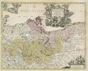
Ducatus Pomeraniae
Ducatus Pomeraniae
Pomeraniae Ducatus Tabulam
Pomeraniae Ducatus Tabula
Tabula Marchionatus Brandenburgici Et Ducatus Pomeraniae
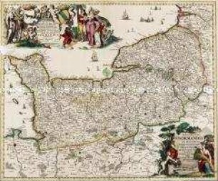
Nova et Accurata Normandiae Ducatus Tabula
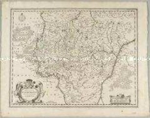
Ducatus Lutzenburgensis
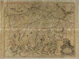
Ducatus Silesiae
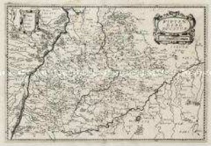
Bavaria Ducatus
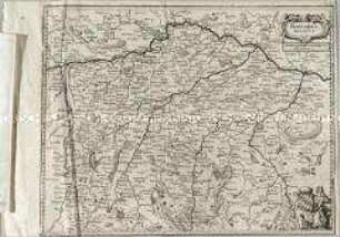
Wirtenberg Ducatus
Ducatus Breslanus
Bavaria Ducatus
Ducatus Pomeraniae
Ducatus Pomeraniae
Pomeraniae Ducatus Tabulam
Pomeraniae Ducatus Tabula
Tabula Marchionatus Brandenburgici Et Ducatus Pomeraniae
Nova et Accurata Normandiae Ducatus Tabula
Ducatus Lutzenburgensis
Ducatus Silesiae
Bavaria Ducatus
Wirtenberg Ducatus
Ducatus Breslanus