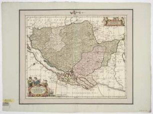
Druck | Landkarte
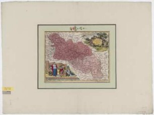
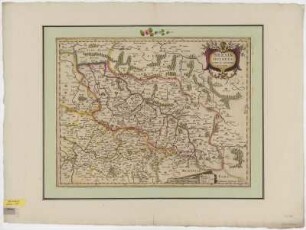
Karte von Schlesien, 1:1 400 000, Kupferstich, um 1750?
Ducatus Silesiae Tabula Accuratissima. - [Ca. 1:1 400 000]. - [S.l.] , [um 1750?]. - 1 Kt. : Kupferst. ; 32 x 25 cm. Maßstab in graph. Form (Milliaria Germania Commu.). - Titelkartusche mit Wappenkranz unten links. - Weitere Wappenkartusche oben rechts. - Mit Kt.-Netz
in color
- Maße
-
32 x 25 cm; 1:1400000 (Maßstab)
- Standort
-
Sächsische Landesbibliothek - Staats- und Universitätsbibliothek Dresden (SLUB)
SLUB/Kartensammlung
- Inventarnummer
-
SLUB/KS A15118
- Weitere Nummer(n)
-
90009027 (Dokumentnummer)
df_dk_0010026 (Aufnahmenummer)
Bezug (was)
Wappen
Druckgrafik
Druckgrafik
Bezug (wo)
Schlesien (Dargestellter Ort)
Bezug (Ereignis)
Herstellung (Abgebildetes Objekt)
Klassifikation
Druckgrafik (Gattung)
Ereignis
Herstellung
(wann)
2009
(Beschreibung)
Aufnahme
Ereignis
Digitalisierung
(Beschreibung)
DFG-Karten
- Letzte Aktualisierung
-
31.03.2023, 11:19 MESZ
Objekttyp
- Druck; Landkarte
Entstanden
- 2009
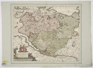
Ähnliche Objekte (12)
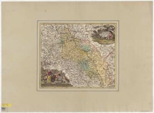
Karte von Schlesien, 1:1 400 000, Kupferstich, um 1730
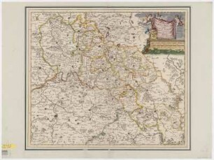
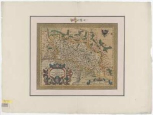
Karte von Schlesien und Umgebung, 1:1 200 000, Kupferstich, um 1719

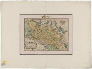
Karte von Schlesien, 1:1 500 000, Kupferstich, um 1596
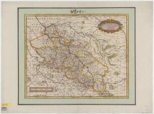
Karte von Schlesien, 1:740 000, Kupferstich, um 1700
Karte von Schlesien, 1:1 100 000, Kupferstich, um 1700
Karte von Schlesien, 1:960 000, Kupferstich, um 1640
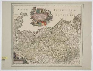
Karte von dem Herzogtum Mecklenburg, 1:460 000, Kupferstich, um 1706
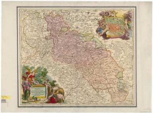
Karte von Schlesien und angrenzenden Ländern, 1:770 000, Kupferstich, um 1710
Karte von Schlesien, 1:1 300 000, Kupferstich, 1561
Karte von dem Herzogtum Stormarn, 1:200 000, Kupferstich, um 1700
Karte des Herzogtums Holstein, 1:315 000, Kupferstich, um 1725
Karte von Schlesien, 1:1 300 000, Kupferstich, um 1603
Karte von Schlesien, 1:1 400 000, Kupferstich, um 1730
Karte von Schlesien und Umgebung, 1:1 200 000, Kupferstich, um 1719
Karte von Schlesien, 1:1 500 000, Kupferstich, um 1596
Karte von Schlesien, 1:740 000, Kupferstich, um 1700
Karte von Schlesien, 1:1 100 000, Kupferstich, um 1700
Karte von Schlesien, 1:960 000, Kupferstich, um 1640
Karte von dem Herzogtum Mecklenburg, 1:460 000, Kupferstich, um 1706
Karte von Schlesien und angrenzenden Ländern, 1:770 000, Kupferstich, um 1710
Karte von Schlesien, 1:1 300 000, Kupferstich, 1561
Karte von dem Herzogtum Stormarn, 1:200 000, Kupferstich, um 1700
Karte des Herzogtums Holstein, 1:315 000, Kupferstich, um 1725