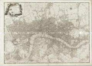
Stadtplan
Bowles's New Pocket Plan of the Cities of London & Westminster; with the Borough of Southwark
- Alternative title
-
BOWLES'S / NEW POCKET PLAN / OF THE CITIES OF / LONDON & WESTMINSTER;
- Location
-
Deutsches Historisches Museum, Berlin
- Inventory number
-
Do 2006/314
- Measurements
-
Höhe x Breite: 48,5 x 102,5 cm (Blatt)
Höhe x Breite: 43,2 x 88,9 cm (Karte)
Höhe x Breite: 46,3 x 92,8 cm (Platte)
- Material/Technique
-
Druckfarbe, Papier, Kupferstich, koloriert
- Classification
-
Kartografie (Gattung)
- Subject (what)
-
London
Westminster
- Event
-
Herstellung
- (who)
-
Drucker, Verleger: Carington Bowles
- (where)
-
London, Großbritannien und Nordirland
- (when)
-
06.01.1782
- Rights
-
Deutsches Historisches Museum
- Last update
-
24.03.2023, 9:29 AM CET
Data provider
This object is provided by:
Stiftung Deutsches Historisches Museum. If you have any questions about the object, please contact the data provider.
Stiftung Deutsches Historisches Museum. If you have any questions about the object, please contact the data provider.
Object type
- Stadtplan
Associated
- Drucker, Verleger: Carington Bowles
Time of origin
- 06.01.1782
Other Objects (12)
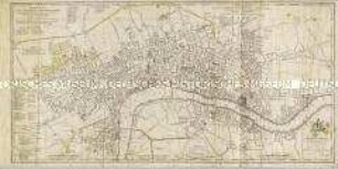
A Plan of the Cities of London & Westminster, The Borough Of Southwark, and their Suburbs
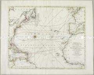
Bowles's new Pocket-Map of the Atlantic or Western Ocean

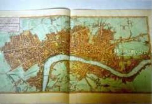
Plan von London und Westminster mit der Borough von Southwark

The incorporation of boroughs
Faden, William: A NEW POCKET PLAN OF THE CITIES OF LONDON / WESTMINSTER: WITH THE BOROUGH OF SOUTHWARK: Comprehending the New Buildings and other Alterations to the YEAR 1790. London (1790)
Borough of Beverley: Official Guide
A New Plan of the City and Liberty of Westminster / A New Plan of the City of London and Borough of Southwark
London Borough of Ealing Council Members

Borough, Rube

Pennsylvania Boroughs
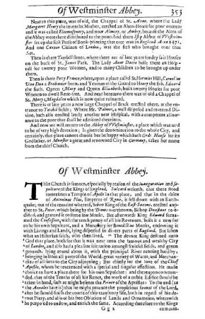
Of Westminster Abbey
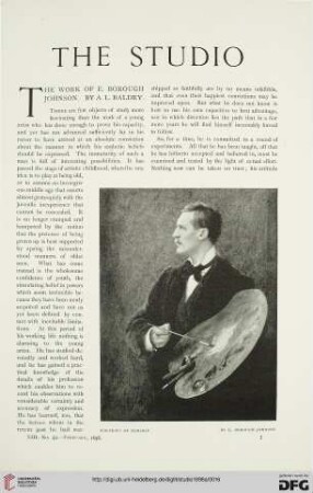
13: The work of E. Borough Johnson
A Plan of the Cities of London & Westminster, The Borough Of Southwark, and their Suburbs
Bowles's new Pocket-Map of the Atlantic or Western Ocean
Plan von London und Westminster mit der Borough von Southwark
The incorporation of boroughs
Faden, William: A NEW POCKET PLAN OF THE CITIES OF LONDON / WESTMINSTER: WITH THE BOROUGH OF SOUTHWARK: Comprehending the New Buildings and other Alterations to the YEAR 1790. London (1790)
Borough of Beverley: Official Guide
A New Plan of the City and Liberty of Westminster / A New Plan of the City of London and Borough of Southwark
London Borough of Ealing Council Members
Borough, Rube
Pennsylvania Boroughs
Of Westminster Abbey