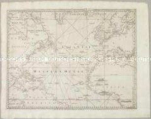
- Alternativer Titel
-
BOWLES'S / NEW POCKET-MAP / OF THE / ATLANTIC
- Standort
-
Deutsches Historisches Museum, Berlin
- Inventarnummer
-
Do 2006/1043
- Maße
-
Höhe x Breite: 53 x 65,5 cm (Blatt)
Höhe x Breite: 43,3 x 53,8 cm (Karte)
Höhe x Breite: 46 x 56 cm (Platte)
- Material/Technik
-
Papier, Kupferstich, grenzkoloriert
- Klassifikation
-
Kartografie (Gattung)
- Bezug (was)
-
Atlantischer Ozean
- Ereignis
-
Herstellung
- (wer)
-
Verleger: Carington Bowles
- (wo)
-
London, Großbritannien und Nordirland
- (wann)
-
01.01.1779
- Rechteinformation
-
Deutsches Historisches Museum
- Letzte Aktualisierung
-
24.03.2023, 09:29 MEZ
Datenpartner
Dieses Objekt wird bereitgestellt von:
Stiftung Deutsches Historisches Museum. Bei Fragen zum Objekt wenden Sie sich bitte an den Datenpartner.
Stiftung Deutsches Historisches Museum. Bei Fragen zum Objekt wenden Sie sich bitte an den Datenpartner.
Objekttyp
- Seekarte
Beteiligte
- Verleger: Carington Bowles
Entstanden
- 01.01.1779
Ähnliche Objekte (12)
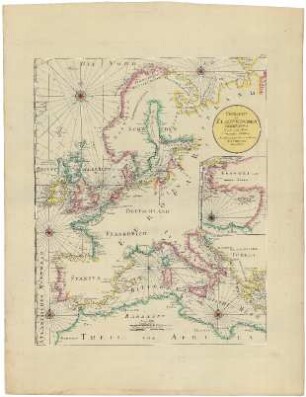
Übersicht der Europäischen Seeküsten.- Verfasst von Herrn Carington Bowles, neu herausgegeben von Herrn F.A. Schraembl
A Chart of the Atlantic Ocean
A Chart of the Atlantic Ocean I. Sheet. Mit vier Ansichten
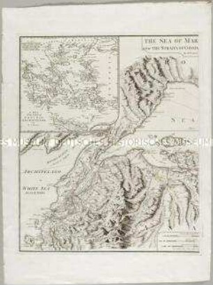
The Sea of Marmara or Propontis with the Straits of Constantinople and of Gallipoli. Mit einer Nebenkarte: A map of the coasts of Grece and Archipelago
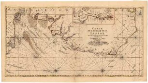
Carte de l'Entrée de la Tamise
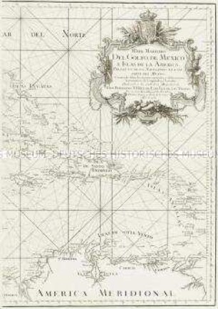
Mapa Maritimo del Golfo de Mexico.
Seekarte
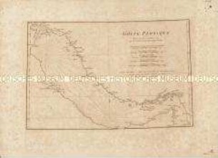
Golfe Persique
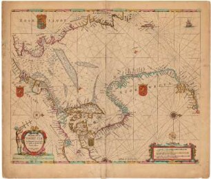
Pas caart van de Noort ZeePascaart van de Noort Zee Verthoonende in zich alle de Custen en havens daer rontom gelegen
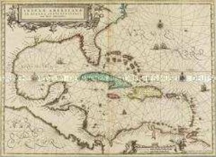
Insulae Americanae
![8me [Huitième] Carte Particulière des Costes de Bretagne](https://iiif.deutsche-digitale-bibliothek.de/image/2/279e2c71-518d-4f82-8b60-4b4f991672c2/full/!306,450/0/default.jpg)
8me [Huitième] Carte Particulière des Costes de Bretagne
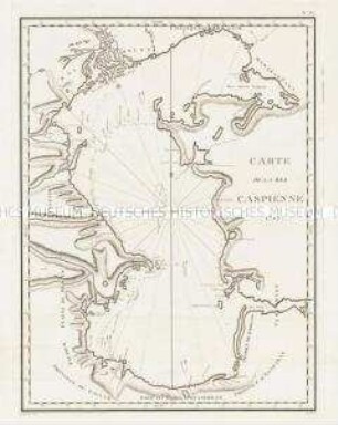
Carte de la Mer Caspienne
Übersicht der Europäischen Seeküsten.- Verfasst von Herrn Carington Bowles, neu herausgegeben von Herrn F.A. Schraembl
A Chart of the Atlantic Ocean
A Chart of the Atlantic Ocean I. Sheet. Mit vier Ansichten
The Sea of Marmara or Propontis with the Straits of Constantinople and of Gallipoli. Mit einer Nebenkarte: A map of the coasts of Grece and Archipelago
Carte de l'Entrée de la Tamise
Mapa Maritimo del Golfo de Mexico.
Seekarte
Golfe Persique
Pas caart van de Noort ZeePascaart van de Noort Zee Verthoonende in zich alle de Custen en havens daer rontom gelegen
Insulae Americanae
8me [Huitième] Carte Particulière des Costes de Bretagne