Karte / Plan
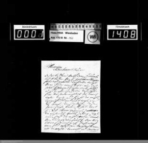
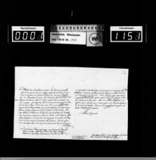
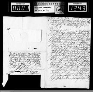
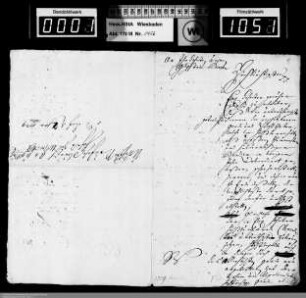
[Abmessung des Forstes zu Brühl / Broll mit Grundriß des Schlosses]. 15. Dez. 1729. Adolf Mülhens, kf. vereidigter Landmesser, Bonn 1729
- Reference number
-
RW Karten, 4133 - 3
- Context
-
RW Karten >> 4. Forsten >> 4.4. Einzelne Forsten und Forstparzellen
- Holding
-
RW Karten
- Other object pages
- Provenance
-
Diverse Registraturbildner
- Delivered via
- Last update
-
05.11.2025, 3:35 PM CET
Data provider
This object is provided by:
Landesarchiv Nordrhein-Westfalen. Abteilung Rheinland. If you have any questions about the object, please contact the data provider.
Landesarchiv Nordrhein-Westfalen. Abteilung Rheinland. If you have any questions about the object, please contact the data provider.
Object type
- Karten / Pläne
Other Objects (12)
![[Abmessung des Forstes zu Brühl / Broll mit Grundriß des Schlosses]. 15. Dez. 1729. Adolf Mülhens, kf. vereidigter Landmesser, Bonn 1729](https://iiif.deutsche-digitale-bibliothek.de/image/2/056f0202-0003-4149-b3e8-1e6457c66f9e/full/!306,450/0/default.jpg)
[Abmessung des Forstes zu Brühl / Broll mit Grundriß des Schlosses]. 15. Dez. 1729. Adolf Mülhens, kf. vereidigter Landmesser, Bonn 1729
![[Abmessung des Forstes zu Brühl / Broll mit Grundriß des Schlosses]. 15. Dez. 1729. Adolf Mülhens, kf. vereidigter Landmesser, Bonn 1729](https://iiif.deutsche-digitale-bibliothek.de/image/2/f3aa6364-3e14-4b7c-8445-e7764d8f1b3c/full/!306,450/0/default.jpg)
[Abmessung des Forstes zu Brühl / Broll mit Grundriß des Schlosses]. 15. Dez. 1729. Adolf Mülhens, kf. vereidigter Landmesser, Bonn 1729
. 1729: Dezember 1729
. 1729: Mai-Juli 1729
. 1729: Oktober-November 1729
. 1729: Januar-April 1729
. 1729: August-September 1729

1729

1729
1729.

1729

1729
[Abmessung des Forstes zu Brühl / Broll mit Grundriß des Schlosses]. 15. Dez. 1729. Adolf Mülhens, kf. vereidigter Landmesser, Bonn 1729
[Abmessung des Forstes zu Brühl / Broll mit Grundriß des Schlosses]. 15. Dez. 1729. Adolf Mülhens, kf. vereidigter Landmesser, Bonn 1729
. 1729: Dezember 1729
. 1729: Mai-Juli 1729
. 1729: Oktober-November 1729
. 1729: Januar-April 1729
. 1729: August-September 1729
1729
1729
1729.
1729
1729
[Abmessung des Forstes zu Brühl / Broll mit Grundriß des Schlosses]. 15. Dez. 1729. Adolf Mülhens, kf. vereidigter Landmesser, Bonn 1729
[Abmessung des Forstes zu Brühl / Broll mit Grundriß des Schlosses]. 15. Dez. 1729. Adolf Mülhens, kf. vereidigter Landmesser, Bonn 1729
. 1729: Dezember 1729
. 1729: Mai-Juli 1729
. 1729: Oktober-November 1729
. 1729: Januar-April 1729
. 1729: August-September 1729
1729
1729
1729.
1729