- Alternative title
-
CARTA / DE LA ISLA DE LA / BARBADA, / REDUCIDA Y GRAVADA
- Location
-
Deutsches Historisches Museum, Berlin
- Inventory number
-
Do 2006/20
- Measurements
-
Höhe x Breite: 46,5 x 59 cm (Blatt)
Höhe x Breite: 32,8 x 36,5 cm (Karte)
Höhe x Breite: 36,5 x 41 cm (Platte)
- Material/Technique
-
Druckfarbe, Papier, Kupferstich, grenzkoloriert
- Classification
-
Kartografie (Gattung)
- Subject (what)
-
Barbados
Kleine Antillen
- Event
-
Herstellung
- (who)
-
Kartograf, Geograph: Juan Lopez
- (where)
-
Madrid, Spanien
- (when)
-
1780
- Rights
-
Deutsches Historisches Museum
- Last update
-
24.03.2023, 9:29 AM CET
Data provider
This object is provided by:
Stiftung Deutsches Historisches Museum. If you have any questions about the object, please contact the data provider.
Stiftung Deutsches Historisches Museum. If you have any questions about the object, please contact the data provider.
Object type
- Küstenkarte
Associated
- Kartograf, Geograph: Juan Lopez
Time of origin
- 1780
Other Objects (12)
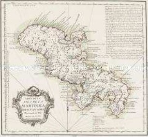
Carta de la Isla de la Martinica
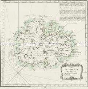
Carta de la Isla de la Antigua
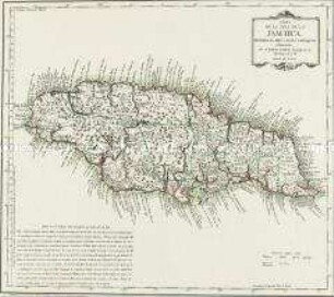
Carta de la Isla de la Jamayca

Carta-relacion de la Islas Filipinas ...
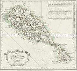
Carta de la Isla de San Christoval
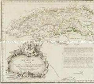
Carta Maritima de la Isla de Cuba

Carta plana de la Isla de Santo Domingo
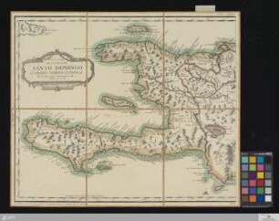
Carta Plana De La Isla De Santo Domingo Llamada Tambien Española
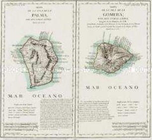
Mapa de la Isla de la Palma / Mapa de la Isla de la Gomera

Carta reducida de las Islas de Canaria
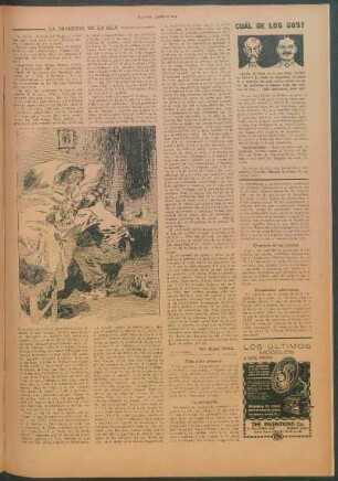
La tragedia de la isla
La isla de la muerte
Carta de la Isla de la Martinica
Carta de la Isla de la Antigua
Carta de la Isla de la Jamayca
Carta-relacion de la Islas Filipinas ...
Carta de la Isla de San Christoval
Carta Maritima de la Isla de Cuba
Carta plana de la Isla de Santo Domingo
Carta Plana De La Isla De Santo Domingo Llamada Tambien Española
Mapa de la Isla de la Palma / Mapa de la Isla de la Gomera
Carta reducida de las Islas de Canaria
La tragedia de la isla