- Location
-
Deutsches Historisches Museum, Berlin
- Inventory number
-
Do 93/4
- Measurements
-
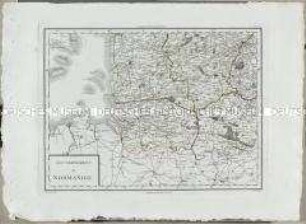
Höhe x Breite: 53,2 x 64,2 cm (Blatt), Höhe x Breite: 49 x 60,4 cm (Platte), Höhe x Breite: 45,5 x 57,8 cm (Karte)
- Material/Technique
-
Papier, Kupferstich, grenzkoloriert
- Classification
-
Kartografie (Gattung)
- Subject (what)
-
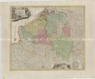
Amsterdam
Brandenburg
Erklärung
Meilen
- Event
-
Herstellung
- (who)
-
Kartograf: Jakob Paul Frhr. von Gundling (1673-1731)
Stecher: G.P. Busch
Verlag: Johannes Covens und Cornelius Mortier
- (when)
-
um 1730
- Rights
-
Deutsches Historisches Museum
- Last update
-
24.03.2023, 9:27 AM CET
Data provider
This object is provided by:
Stiftung Deutsches Historisches Museum. If you have any questions about the object, please contact the data provider.
Stiftung Deutsches Historisches Museum. If you have any questions about the object, please contact the data provider.
Object type
- Grenzkarte
Associated
- Kartograf: Jakob Paul Frhr. von Gundling (1673-1731)
- Stecher: G.P. Busch
- Verlag: Johannes Covens und Cornelius Mortier
Time of origin
- um 1730
Other Objects (12)

Karte: Beschreibung der Schweiz; 1751

Deutschland vom Major C. F. Hammer. Nürnberg bey Friedrich Campe

Tableau Général de l'Asie
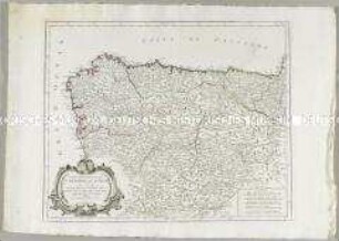
Partie Septentrionale de la Couronne de Castille
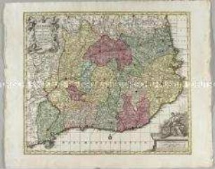
Cataloniae Principatus et Ruscinonis ac Cerretaniae Comitatuum
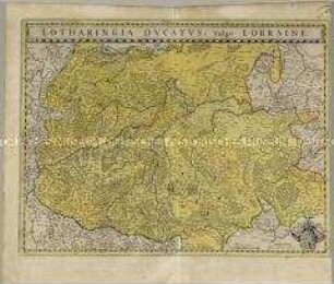
Lotharingia Ducatus
Nouvelle Carte de l'Etat de Milan. Mit einer Nebenkarte: Nouvelle Carte du Duché de Mantoue
Germaniae Inferioris sive Belgii. Mit einem Fortifikationsplan: Ostende
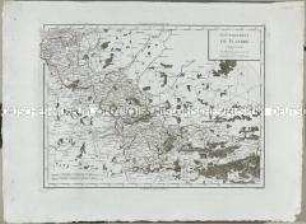
Atlas Nouveau: Gouvernement de Flandre
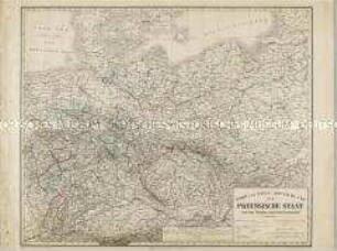
Nord und West-Deutschland der Preussische Staat und die übrigen Zollvereinsstaaten
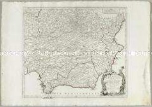
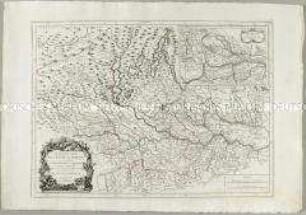
Partie Meridionale des Etats de Castille
Atlas Nouveau: Gouvernement de Normandie. Mit einer Nebenkarte: Kanalinseln
Karte: Beschreibung der Schweiz; 1751
Deutschland vom Major C. F. Hammer. Nürnberg bey Friedrich Campe
Tableau Général de l'Asie
Partie Septentrionale de la Couronne de Castille
Cataloniae Principatus et Ruscinonis ac Cerretaniae Comitatuum
Lotharingia Ducatus
Nouvelle Carte de l'Etat de Milan. Mit einer Nebenkarte: Nouvelle Carte du Duché de Mantoue
Germaniae Inferioris sive Belgii. Mit einem Fortifikationsplan: Ostende
Atlas Nouveau: Gouvernement de Flandre
Nord und West-Deutschland der Preussische Staat und die übrigen Zollvereinsstaaten
Partie Meridionale des Etats de Castille