- Alternative title
-
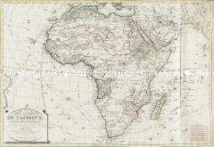
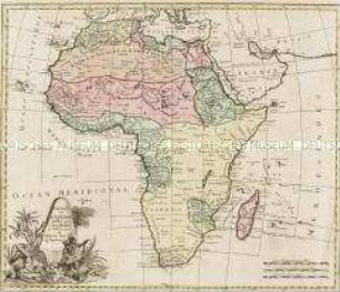
TABLEAU GÉNÉRAL DE L'AFRIQUE, / comprenant / LES PRINCIPALES RÉGIONS QUI COMPOSENT CETTE PARTIE DU MONDE AU NOMBRE DE NEUF, / ET LEURS DIVISIONS PAR ETATS OU PROVINCES,
- Location
-
Deutsches Historisches Museum, Berlin
- Inventory number
-
Do 2006/201
- Measurements
-
Höhe x Breite: 58,5 x 81 cm (Blatt)
Höhe x Breite: 34,4 x 43,2 cm (Karte)
Höhe x Breite: 54,5 x 76,7 cm (Platte)
- Material/Technique
-
Druckfarbe, Papier, Kupferstich, grenzkoloriert
- Classification
-
Kartografie (Gattung)
- Subject (what)
-
Afrika
- Event
-
Herstellung
- (who)
-
Geograph, Kartograf: Louis Brion de la Tour (1756)
Verleger: Les Campions freres
- (where)
-
Paris, Frankreich
- (when)
-
1787
- Rights
-
Deutsches Historisches Museum
- Last update
-
24.03.2023, 9:28 AM CET
Data provider
This object is provided by:
Stiftung Deutsches Historisches Museum. If you have any questions about the object, please contact the data provider.
Stiftung Deutsches Historisches Museum. If you have any questions about the object, please contact the data provider.
Object type
- Kontinentalkarte
Associated
- Geograph, Kartograf: Louis Brion de la Tour (1756)
- Verleger: Les Campions freres
Time of origin
- 1787
Other Objects (12)
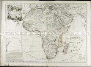
Carte Générale de l'Afrique
Afrique : esquisse générale de l'Afrique et Afrique ancienne
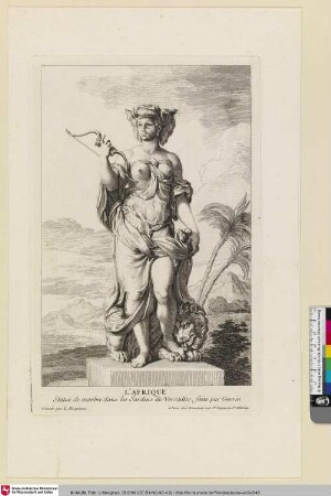
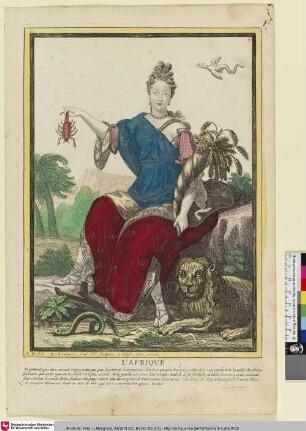
L'Afrique
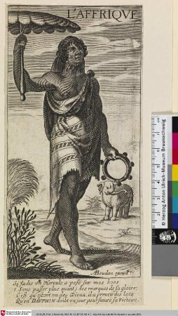
L'AFRIQUE
L'Afrique
L'Afrique
Charte de l'Afrique
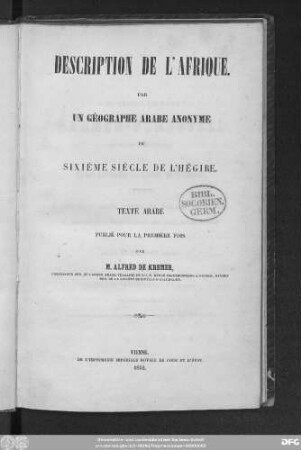
Description de l'Afrique

Continent De L´Afrique

Musique de l'Afrique
Iles de l'Afrique
Contrées de l'Afrique
Carte Générale de l'Afrique
Afrique : esquisse générale de l'Afrique et Afrique ancienne
L'Afrique
L'AFRIQUE
L'Afrique
L'Afrique
Charte de l'Afrique
Description de l'Afrique
Continent De L´Afrique
Musique de l'Afrique
Iles de l'Afrique
Contrées de l'Afrique
Carte Générale de l'Afrique
Afrique : esquisse générale de l'Afrique et Afrique ancienne
L'Afrique
L'AFRIQUE
L'Afrique
L'Afrique
Charte de l'Afrique
Description de l'Afrique
Continent De L´Afrique
Musique de l'Afrique
Iles de l'Afrique