- Alternativer Titel
-
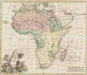
CARTE GÉNÉRALE / DE L'AFRIQUE, / Divisée en plusieurs Royaumes, / CONTENANT AUSSI LES PAYS ET ETATS VOISINS
- Standort
-
Deutsches Historisches Museum, Berlin
- Inventarnummer
-
Do 2006/203
- Maße
-
Höhe x Breite: 58,5 x 85 cm (Blatt)
Höhe x Breite: 50,8 x 75,2 cm (Karte)
Höhe x Breite: 54,5 x 78,5 cm (Platte)
- Material/Technik
-
Druckfarbe, Papier, Kupferstich, grenzkoloriert
- Klassifikation
-
Kartografie (Gattung)
- Bezug (was)
-
Afrika
- Ereignis
-
Herstellung
- (wer)
-
Kartograf, Geograph: Eustache Hérisson
Verleger: André Basset?
- (wo)
-
Paris, Frankreich
- (wann)
-
1795
- Rechteinformation
-
Deutsches Historisches Museum
- Letzte Aktualisierung
- 24.03.2023, 08:31 UTC
Datenpartner
Dieses Objekt wird bereitgestellt von:
Stiftung Deutsches Historisches Museum. Bei Fragen zum Objekt wenden Sie sich bitte an den Datenpartner.
Stiftung Deutsches Historisches Museum. Bei Fragen zum Objekt wenden Sie sich bitte an den Datenpartner.
Objekttyp
- Kontinentalkarte
Beteiligte
- Kartograf, Geograph: Eustache Hérisson
- Verleger: André Basset?
Entstanden
- 1795
Ähnliche Objekte (12)
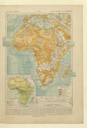
Carte physique de l'Afrique

Afrique : esquisse générale de l'Afrique et Afrique ancienne
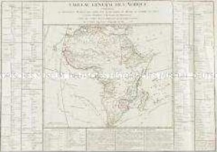
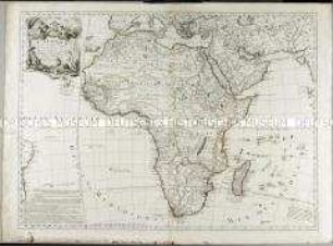
Tableau Général de l'Afrique
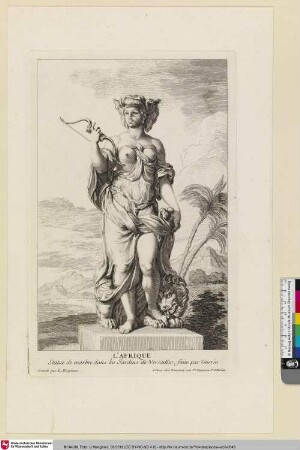
L'Afrique
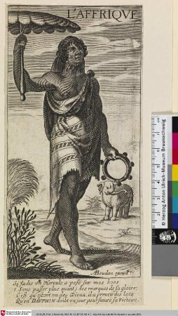
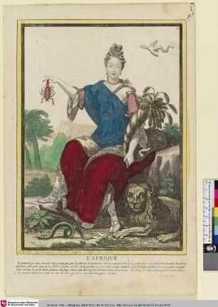
L'Afrique
L'AFRIQUE
L'Afrique

Carte de L´Afrique Propre et de la Numidie.

Recherches geographiques de l'Afrique Septentrionale : Avec une carte
Charte de l'Afrique
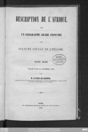
Description de l'Afrique

Continent De L´Afrique
Carte physique de l'Afrique
Afrique : esquisse générale de l'Afrique et Afrique ancienne
Tableau Général de l'Afrique
L'Afrique
L'Afrique
L'AFRIQUE
L'Afrique
Carte de L´Afrique Propre et de la Numidie.
Recherches geographiques de l'Afrique Septentrionale : Avec une carte
Charte de l'Afrique
Description de l'Afrique