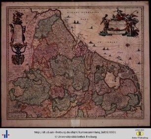
Altkarte
Novissima et Accuratissima XVII Provinciarum Germaniae Inferioris Tabula
- Alternative title
-
Novissima et Accuratissima septendecim Provinciarum Germaniae Inferioris Tabula
- Location
-
München, Bayerische Staatsbibliothek -- 2 Mapp. 65
- Dimensions
-
33 x 26 cm
- Extent
-
1 Kt.
- Notes
-
Kupferstich
W oben. - Maßstab in graph. Form (Milliaria Germanica commania, Milliaria Gallica commania). - Titelkartusche oben rechts. - Mit Tab. d. Bevölkerungszahlen
- Bibliographic citation
-
Faber, Samuel: Atlas Scholastichodoeporicus oder immer stärcker anwachsender Schul- und Reisen-Atlas ; 9
- Keyword
-
Verwaltungsgrenze
Niederlande
Österreichische Niederlande
- Event
-
Veröffentlichung
- (where)
-
Nürnberg
- (when)
-
s.a. [zwischen 1716 u. 1720]
- Contributor
- URN
-
urn:nbn:de:bvb:12-bsb00139558-2
- Last update
-
16.04.2025, 8:44 AM CEST
Data provider
This object is provided by:
Bayerische Staatsbibliothek. If you have any questions about the object, please contact the data provider.
Bayerische Staatsbibliothek. If you have any questions about the object, please contact the data provider.
Object type
- Altkarte
Associated
Time of origin
- s.a. [zwischen 1716 u. 1720]
Other Objects (12)

Novissima et accuratissima XVll provinciarum Germaniae inferioris tabula
Novissima et accuratissima XVII provinciarum Germaniae inferioris delineatio.
Der Zahnarzt
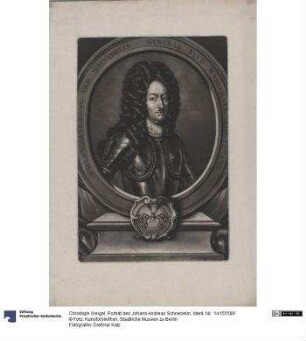
Christian Gottlieb Schwarz
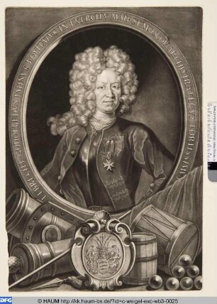
Rucker, Daniel (1644 Breisach - 1709) Bürgermeister von Rotenburg
Zar Peter I.
Lebrecht Gottfried Jahnus von Eberstädt
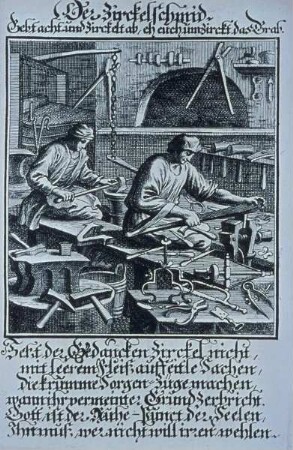
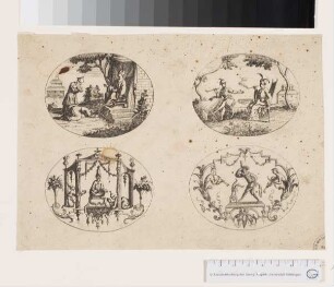
aus: "Abbildung der Gemein-Nützlichen Hauptständ..."
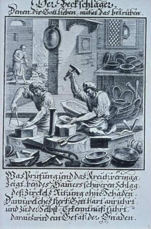
aus: "Abbildung der Gemein-Nützlichen Hauptständ..."
Porträt des Johann Andreas Schnebelin
Figures et habillemens Chinois
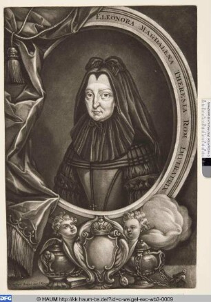
Eleonora Magdalena Theresia
Novissima et accuratissima XVll provinciarum Germaniae inferioris tabula
Novissima et accuratissima XVII provinciarum Germaniae inferioris delineatio.
Der Zahnarzt
Christian Gottlieb Schwarz
Rucker, Daniel (1644 Breisach - 1709) Bürgermeister von Rotenburg
Zar Peter I.
Lebrecht Gottfried Jahnus von Eberstädt
aus: "Abbildung der Gemein-Nützlichen Hauptständ..."
aus: "Abbildung der Gemein-Nützlichen Hauptständ..."
Porträt des Johann Andreas Schnebelin
Figures et habillemens Chinois