- Alternativer Titel
-
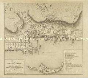
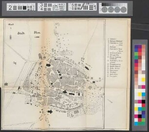
A PLAN / of the / Town and Citadel / OF
- Standort
-
Deutsches Historisches Museum, Berlin
- Inventarnummer
-
Do 2006/316.1-2
- Maße
-
Höhe x Breite: 48,3 x 77,5 cm (Blatt 1)
Höhe x Breite: 27,3 x 70,3 cm (Karte 1)
Höhe x Breite: 45,5 x 75,4 cm (Platte 1)
Höhe x Breite: 47 x 77 cm (Blatt 2)
Höhe x Breite: 40,6 x 70,6 cm (Karte 2)
Höhe x Breite: 45,5 x 75,3 cm (Platte 2)
- Material/Technik
-
Druckfarbe, Papier, Kupferstich
- Klassifikation
-
Kartografie (Gattung)
- Bezug (was)
-
Plymouth
England
- Ereignis
-
Herstellung
- (wer)
-
Verleger: William Faden
Kartograf: Richard Cowl
- (wo)
-
London, Großbritannien und Nordirland
- (wann)
-
1780
- Rechteinformation
-
Deutsches Historisches Museum
- Letzte Aktualisierung
-
24.03.2023, 09:30 MEZ
Datenpartner
Dieses Objekt wird bereitgestellt von:
Stiftung Deutsches Historisches Museum. Bei Fragen zum Objekt wenden Sie sich bitte an den Datenpartner.
Stiftung Deutsches Historisches Museum. Bei Fragen zum Objekt wenden Sie sich bitte an den Datenpartner.
Objekttyp
- Stadtplan
Beteiligte
- Verleger: William Faden
- Kartograf: Richard Cowl
Entstanden
- 1780
Ähnliche Objekte (12)
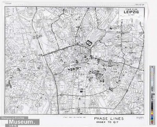
Town Plan Leipzig
A Plan of the Town of Newport in Rhode Island.

Stadtatlas Großraum München : mit Umgebung und Flughafenplan ; town map, plan de ville, pianta della citt`a
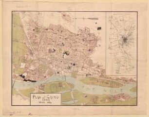
Plan of Cairo
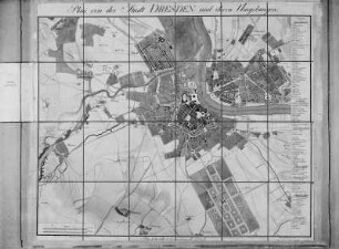
A Plan of the City of Dresden
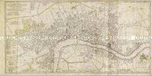
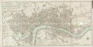
A New Plan of the City and Liberty of Westminster / A New Plan of the City of London and Borough of Southwark
Plan of the foreign concessions in Tientsin
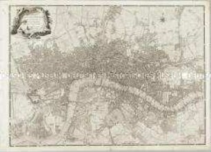
A Plan of the Cities of London & Westminster, The Borough Of Southwark, and their Suburbs
Bowles's New Pocket Plan of the Cities of London & Westminster; with the Borough of Southwark
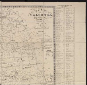
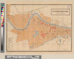
Plan of Calcutta : shewing the latest improvements as existing in 1854 ; with part of the environs
Stadt-Plan
Dresden. Plan
Town Plan Leipzig
A Plan of the Town of Newport in Rhode Island.
Stadtatlas Großraum München : mit Umgebung und Flughafenplan ; town map, plan de ville, pianta della citt`a
Plan of Cairo
A Plan of the City of Dresden
A New Plan of the City and Liberty of Westminster / A New Plan of the City of London and Borough of Southwark
Plan of the foreign concessions in Tientsin
A Plan of the Cities of London & Westminster, The Borough Of Southwark, and their Suburbs
Bowles's New Pocket Plan of the Cities of London & Westminster; with the Borough of Southwark
Plan of Calcutta : shewing the latest improvements as existing in 1854 ; with part of the environs
Stadt-Plan