Regionalkarte
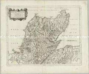
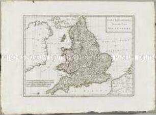
Magnae Britanniae Pars Septentrionalis qua Regnum Scotiae in Suas Partes et subjacentes Insulas divisum Accurata Tabula
- Alternative title
-
MAGNAE BRITANNIAE / Pars Septentrionalis / qua / REGNUM SCOTIAE
- Location
-
Deutsches Historisches Museum, Berlin
- Inventory number
-
Do 2006/280
- Measurements
-
Höhe x Breite: 66 x 56,5 cm (Blatt)
Höhe x Breite: 55,7 x 46 cm (Karte)
Höhe x Breite: 59 x 49,5 cm (Platte)
- Material/Technique
-
Druckfarbe, Papier, Kupferstich, koloriert
- Classification
-
Kartografie (Gattung)
- Subject (what)
-
Schottland
- Event
-
Herstellung
- (who)
-
Geograph, Verleger: Johann Baptist Homann
- (where)
-
Nürnberg, Deutschland
- (when)
-
nach 1770
- Rights
-
Deutsches Historisches Museum
- Last update
-
24.03.2023, 9:29 AM CET
Data provider
This object is provided by:
Stiftung Deutsches Historisches Museum. If you have any questions about the object, please contact the data provider.
Stiftung Deutsches Historisches Museum. If you have any questions about the object, please contact the data provider.
Object type
- Regionalkarte
Associated
- Geograph, Verleger: Johann Baptist Homann
Time of origin
- nach 1770
Other Objects (12)
Extima Scotiae Septentrionalis Ora
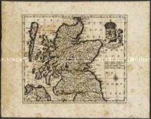
Novissima Regni Scotiae Septentrionalis et Meridionalis Tabula. Mit einer Nebenkarte: Orcades Insulae

America Septentrionalis
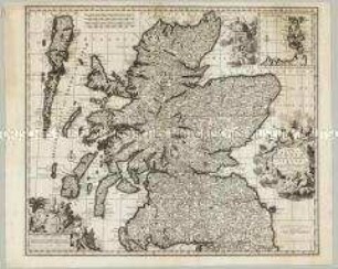
Scotiae Regnum / Königreich Schottland.
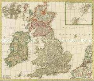
Nova Totius Angliae Scotiae Et Hiberniae. Mit einer Nebenkarte: Orcades Insulae borealiores
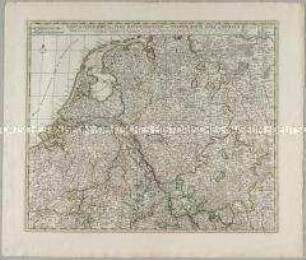
Tabula Geographica qua Pars Meridionalis sive Superior / Pars Septentrionalis sive Inferior Rheni, Mosae et Mosellae

Tabula Geographica Totam Borussiam ut et Districtum Notecensem. Mit einer Nebenkarte: Charte welche den Netz District vorstellet
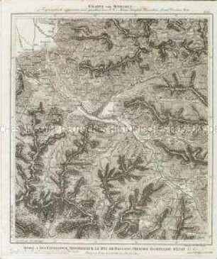
Charte von Schwaben No. 60

Holstein, Lauenburg, Hamburg u. Lübeck
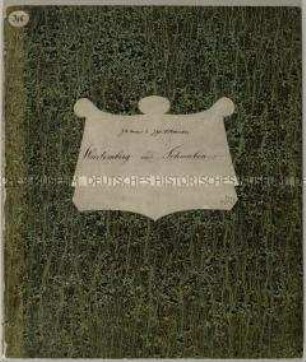
Charte von Schwaben (unvollständig; Titel nicht erhalten)
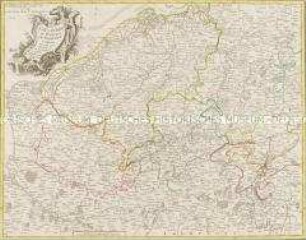
La Flandre, le Hainaut, le Brabant, l'Artois une partie de la Picardie, et du Luxembourg
Atlas Nouveau: Isles Britanniques Troisieme Carte
Extima Scotiae Septentrionalis Ora
Novissima Regni Scotiae Septentrionalis et Meridionalis Tabula. Mit einer Nebenkarte: Orcades Insulae
America Septentrionalis
Scotiae Regnum / Königreich Schottland.
Nova Totius Angliae Scotiae Et Hiberniae. Mit einer Nebenkarte: Orcades Insulae borealiores
Tabula Geographica qua Pars Meridionalis sive Superior / Pars Septentrionalis sive Inferior Rheni, Mosae et Mosellae
Tabula Geographica Totam Borussiam ut et Districtum Notecensem. Mit einer Nebenkarte: Charte welche den Netz District vorstellet
Charte von Schwaben No. 60
Holstein, Lauenburg, Hamburg u. Lübeck
Charte von Schwaben (unvollständig; Titel nicht erhalten)
La Flandre, le Hainaut, le Brabant, l'Artois une partie de la Picardie, et du Luxembourg