- Alternative title
-
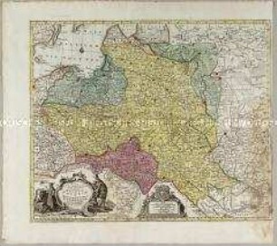
MAPPA GEOGRAPHICA/ REGNUM/ BOHEMIAE/ CUM ADIUNCTIS/ DUCATU SILESIAE/ ET MARCHIONATIB./ MORAVIAE ET LUSATIAE/ repraesentans/ Cura et sumtibus/ MATTH. SEUTTERI. S.C.M.G. AUG.
- Location
-
Deutsches Historisches Museum, Berlin
- Inventory number
-
Do 2002/159
- Measurements
-
Höhe x Breite: 55 x 62,8 cm (Blatt), Höhe x Breite: 49,9 x 58,3 cm (Platte)
- Material/Technique
-
Papier, Kupferstich, koloriert
- Classification
-
Kartografie (Gattung)
- Subject (what)
-
Böhmen
Lausitz
Schlesien
- Event
-
Herstellung
- (who)
-
Verleger: Matthäus Seutter (1678)
- (where)
-
Augsburg [historisch: Augustae Vindelicum], Deutschland [historisch: Heiliges Römisches Reich]
- (when)
-
um 1750
- Rights
-
Deutsches Historisches Museum
- Last update
-
24.03.2023, 9:27 AM CET
Data provider
This object is provided by:
Stiftung Deutsches Historisches Museum. If you have any questions about the object, please contact the data provider.
Stiftung Deutsches Historisches Museum. If you have any questions about the object, please contact the data provider.
Object type
- Regionalkarte
Associated
- Verleger: Matthäus Seutter (1678)
Time of origin
- um 1750
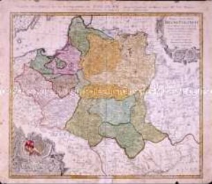
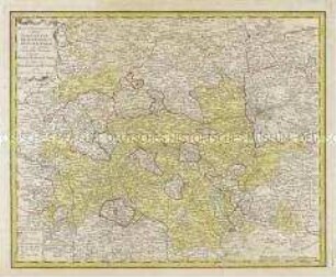
Other Objects (12)

Mappa Geographica Regnum Bohemiae
Mappa Geographica, ex novissimis observationibus repraesentans Regnum Poloniae Et Magnum Ducatum Lithuaniae

Mappa Totius Regni Bohemiae
Mappa Geographica Regni Poloniae
Mappa Geographica Regni Poloniae
Mappa geographica exhibens Principatum Brandenburgico Onolsbacensem
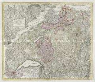
Mappa geographica illustris Helvetiorum Reipublicae Bernensis
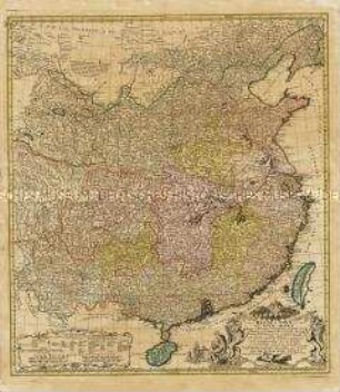
Regni Sinae vel Sinae Propriae Mappa et Descriptio Geographica
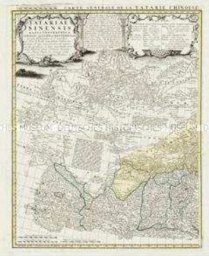
Tatariae Sinensis Mappa Geographica / Carte Generale de la Tatarie Chinoise
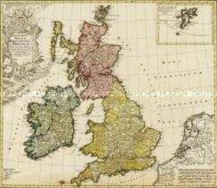
Regnorum Magnae Britanniae Et Hiberniae Mappa Geographica. Mit einer Nebenkarte: Insulae Schetlandiae
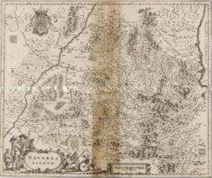
Navarra Regnum
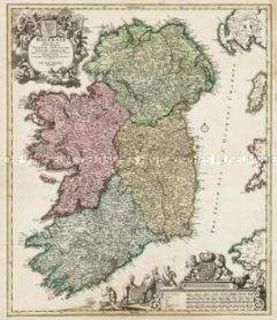
Hiberniae Regnum
Mappa Geographica Regnum Bohemiae
Mappa Geographica, ex novissimis observationibus repraesentans Regnum Poloniae Et Magnum Ducatum Lithuaniae
Mappa Totius Regni Bohemiae
Mappa Geographica Regni Poloniae
Mappa Geographica Regni Poloniae
Mappa geographica exhibens Principatum Brandenburgico Onolsbacensem
Mappa geographica illustris Helvetiorum Reipublicae Bernensis
Regni Sinae vel Sinae Propriae Mappa et Descriptio Geographica
Tatariae Sinensis Mappa Geographica / Carte Generale de la Tatarie Chinoise
Regnorum Magnae Britanniae Et Hiberniae Mappa Geographica. Mit einer Nebenkarte: Insulae Schetlandiae
Navarra Regnum