Altkarte
Tres nouvelle Carte du Royaume De France : divisé en toutes les Provinces et Gouvernements = Recentissima totius Galliae Regni Tabula Geographica
- Alternative title
-
Recentissima totius Galliae Regni Tabula Geographica
- Location
-
München, Bayerische Staatsbibliothek -- 2 Mapp. 6-1
- Dimensions
-
54 x 42 cm
- Extent
-
1 Kt.
- Notes
-
Kupferstich
Maßstab in graph. Form (Lieues de France, Milles communes d'Allemagne)
- Bibliographic citation
-
Atlas maior sive collectio mapparum diversorum autoribus / 1 ; 19
- Keyword
-
Frankreich
- Event
-
Veröffentlichung
- (where)
-
Norimbergae//Nürnberg//
- (who)
-
Heritiers de Homann
- (when)
-
1764
- URN
-
urn:nbn:de:bvb:12-bsb00106811-1
- Last update
-
16.04.2025, 8:38 AM CEST
Data provider
This object is provided by:
Bayerische Staatsbibliothek. If you have any questions about the object, please contact the data provider.
Bayerische Staatsbibliothek. If you have any questions about the object, please contact the data provider.
Object type
- Altkarte
Associated
- Rizzi-Zannoni, Giovanni Antonio
- Dorn, Sebastian
- Homann, Johann Christoph
- Heritiers de Homann
Time of origin
- 1764
Other Objects (12)
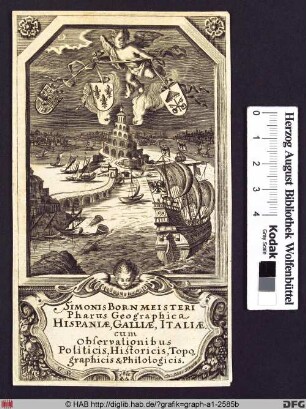
Pharus Geographica Hispaniae, Galliae, Italiae.
!["Recentissima totius Galliae seu Franciae tabula, [...] Impensis Homannianorum hered, 1791 cum Privil. S.C.M."](/assets/placeholder/searchResultMediaNoDigitisedMedia.png)
"Recentissima totius Galliae seu Franciae tabula, [...] Impensis Homannianorum hered, 1791 cum Privil. S.C.M."
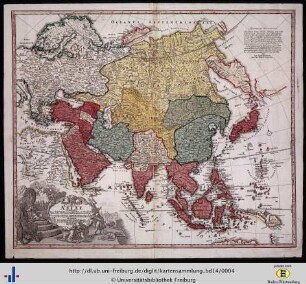
Recentissima Asiae delineatio.

Asiae Recentißima Delineatio
Recentissima Asiae Delineatio

Regni Galliae seu Franciae et Navarrae tabula geographica.
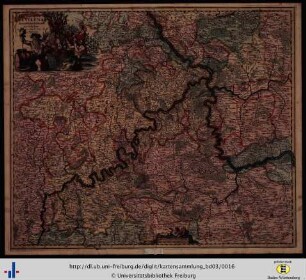
Archiepiscopatus Trevirensis Recentissima Delineatio
Periodus X. Anatome Recentissima.
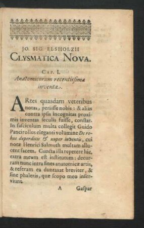
Cap. I. Anatomicorum recentissima inventa.

Theologiae moralis : editio recentissima ..., 2.
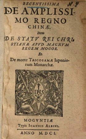
Recentissima de amplissimo regno Chinae
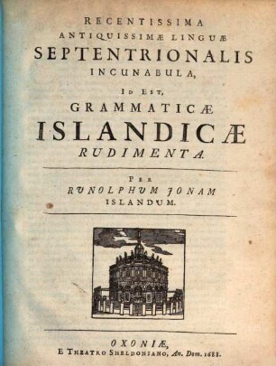
Recentissima antiquissimae linguae septentrionalis incunabula
Pharus Geographica Hispaniae, Galliae, Italiae.
"Recentissima totius Galliae seu Franciae tabula, [...] Impensis Homannianorum hered, 1791 cum Privil. S.C.M."
Recentissima Asiae delineatio.
Asiae Recentißima Delineatio
Recentissima Asiae Delineatio
Regni Galliae seu Franciae et Navarrae tabula geographica.
Archiepiscopatus Trevirensis Recentissima Delineatio
Periodus X. Anatome Recentissima.
Cap. I. Anatomicorum recentissima inventa.
Theologiae moralis : editio recentissima ..., 2.
Recentissima de amplissimo regno Chinae