- Alternative title
-
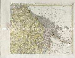
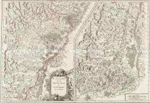
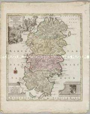
REGNA / GALICIAE / et / LODOMERIAE
- Location
-
Deutsches Historisches Museum, Berlin
- Inventory number
-
Do 2006/797.1-41
- Measurements
-
Höhe x Breite: 76,3 x 100 cm (Blatt 1)
Höhe x Breite: 69,4 x 92,3 cm (Karte 1)
Höhe x Breite: 73 x 96 cm (Platte 1)
Höhe x Breite: 33,5 x 38,5 cm (Blatt 2)
Höhe x Breite: 20 x 27 cm (Karte 2)
Höhe x Breite: 27,5 x 36 cm (Platte 2)
- Material/Technique
-
Papier, Kupferstich
- Classification
-
Kartografie (Gattung)
- Subject (what)
-
Ukraine
Polen
- Event
-
Herstellung
- (who)
-
Kartograf, Astronom: Joseph Liesganig
Kartograph?: Franz Anton Maulbertsch
Stecher: Gottfried Prixner
Kartograf, Stecher: Johannes Liechtenstern (à)
- (where)
-
Wien, Österreich
- (when)
-
um 1770
- Rights
-
Deutsches Historisches Museum
- Last update
-
24.03.2023, 9:28 AM CET
Data provider
This object is provided by:
Stiftung Deutsches Historisches Museum. If you have any questions about the object, please contact the data provider.
Stiftung Deutsches Historisches Museum. If you have any questions about the object, please contact the data provider.
Object type
- Regionalkarte
Associated
- Kartograf, Astronom: Joseph Liesganig
- Kartograph?: Franz Anton Maulbertsch
- Stecher: Gottfried Prixner
- Kartograf, Stecher: Johannes Liechtenstern (à)
Time of origin
- um 1770
Other Objects (12)
Mappa Electoratus et Ducatus Bavariae Superioris et Inferioris
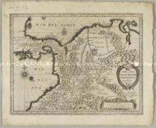
Terra Firma et Novum Regnum Granatense et Popayan
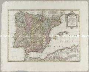
Portugal et Hispania
Suchuen, et Xensi
L'Alsace divisée en Haute et Basse et le Sundgau
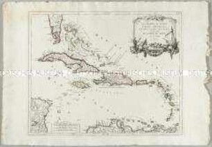
Les Grandes et Petites Isles Antilles et les Isles Lucayes
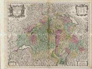
Helvetiae Rhetiae et Valesiae

Insulae et Principatus Rugiae
Misniae et Lusatiae Tabula
Rugiae, Usedomiae, et Iulinae
Zurichgow et Basiliensis provincia
Insula et Regnum Sardiniae
Mappa Electoratus et Ducatus Bavariae Superioris et Inferioris
Terra Firma et Novum Regnum Granatense et Popayan
Portugal et Hispania
Suchuen, et Xensi
L'Alsace divisée en Haute et Basse et le Sundgau
Les Grandes et Petites Isles Antilles et les Isles Lucayes
Helvetiae Rhetiae et Valesiae
Insulae et Principatus Rugiae
Misniae et Lusatiae Tabula
Rugiae, Usedomiae, et Iulinae
Zurichgow et Basiliensis provincia