Altkarte
Karte vom Ural Gebirge : gegründet auf die astronomischen Beobachtungen von Wischnewsky, Schubert, A. v. Humboldt, Ad. Erman und auf handschriftliche Specialkarten
- Weitere Titel
-
Karte vom Ural-Gebirge
- Standort
-
München, Bayerische Staatsbibliothek -- Mapp. XV,18 bt
- Maße
-
71 x 52 cm
- Umfang
-
1 Kt.
- Sprache
-
Deutsch
- Anmerkungen
-
Kupferstich
Nullmeridian: Paris. - Mit 1 Nebenkt.: Bjelaja Gora mit den Umgebungen. - Maßstab auch in graph. Form (Werst, Deutsche Meilen, Geograph. Meilen)
- Schlagwort
-
Ural
- Ereignis
-
Veröffentlichung
- (wo)
-
Gotha
- (wer)
-
Justus Perthes
- (wann)
-
1837
- Beteiligte Personen und Organisationen
-
Višnevskij, Vikentij K.
Schubert, Friedrich Theodor von
Humboldt, Alexander von
Erman, Adolf
Perthes, Justus
Platt, Albrecht
- URN
-
urn:nbn:de:bvb:12-bsb00025427-8
- Letzte Aktualisierung
-
16.04.2025, 08:41 MESZ
Datenpartner
Dieses Objekt wird bereitgestellt von:
Bayerische Staatsbibliothek. Bei Fragen zum Objekt wenden Sie sich bitte an den Datenpartner.
Bayerische Staatsbibliothek. Bei Fragen zum Objekt wenden Sie sich bitte an den Datenpartner.
Objekttyp
- Altkarte
Beteiligte
- Višnevskij, Vikentij K.
- Schubert, Friedrich Theodor von
- Humboldt, Alexander von
- Erman, Adolf
- Perthes, Justus
- Platt, Albrecht
- Justus Perthes
Entstanden
- 1837
Ähnliche Objekte (12)

Porträt von Adolph Erman
In den Steinschleifereien am Iset im Ural verwendet man um 1820 Stein-Fräser, die als rotierende leicht bewegliche Handwerkzeuge konstruiert sind, ihren Antrieb aber durch Schnurlauf von einer Wasserkraftmaschine erhalten

Brief von Adolf Erman an Friedrich Hirth, 13.01.1890
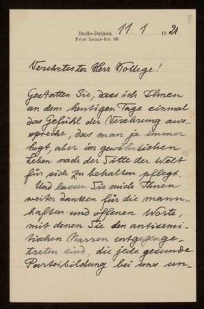
Brief von Adolf Erman an Otto von Gierke, Berlin-Dahlem, 11.1.1921
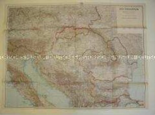
Gerollte Schulwandkarte zur Geografie Osteuropas
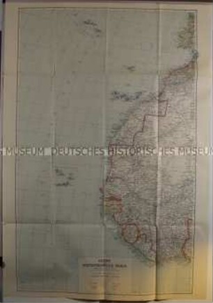
Politisch-geografische Karte der Azoren und Westafrikanischen Inseln aus der Zeit des 2. Weltkrieges
Lombardei "Straßenkarte von der Lombardischen Ebene" Ausf.-Art: Farbiger Druck Herst.: Justus Perthes Format: 39 x 67 cm Maßstab: 1 : 450 000
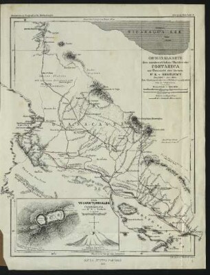
Originalkarte des nordwestlichen Theiles von Costarica zur Übersicht der Reisen Dr. K. v. Seebach's : Den Küstenaufnahmen v. Belcher u. a. adjustiert, von A. Petermann
Politisch-geografische Karte aus dem 2. Weltkrieg
Politisch-geografische Karte aus dem 2. Weltkrieg
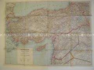
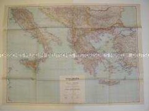
Politisch-geografische Karte von Kleinasien aus dem 2. Weltkrieg
"Bundesrepublik Deutschland" physisch und politisch Ausf.-Art: Farbiger Druck Herst.: Justus Perthes Format: 123 x 99,5 cm Maßstab: 1 : 830 000
Porträt von Adolph Erman
In den Steinschleifereien am Iset im Ural verwendet man um 1820 Stein-Fräser, die als rotierende leicht bewegliche Handwerkzeuge konstruiert sind, ihren Antrieb aber durch Schnurlauf von einer Wasserkraftmaschine erhalten
Brief von Adolf Erman an Friedrich Hirth, 13.01.1890
Brief von Adolf Erman an Otto von Gierke, Berlin-Dahlem, 11.1.1921
Gerollte Schulwandkarte zur Geografie Osteuropas
Politisch-geografische Karte der Azoren und Westafrikanischen Inseln aus der Zeit des 2. Weltkrieges
Lombardei "Straßenkarte von der Lombardischen Ebene" Ausf.-Art: Farbiger Druck Herst.: Justus Perthes Format: 39 x 67 cm Maßstab: 1 : 450 000
Originalkarte des nordwestlichen Theiles von Costarica zur Übersicht der Reisen Dr. K. v. Seebach's : Den Küstenaufnahmen v. Belcher u. a. adjustiert, von A. Petermann
Politisch-geografische Karte aus dem 2. Weltkrieg
Politisch-geografische Karte aus dem 2. Weltkrieg
Politisch-geografische Karte von Kleinasien aus dem 2. Weltkrieg