Regionalkarte
Carte d'une partie des Pays-Bas, pour servir de Supplement a la Carte de l'Empire d'Allemagne
- Alternative title
-
CARTE D'UNE PARTIE / DES PAYS-BAS, / POUR SERVIR DE SUPPLEMÉNT À LA CARTE / DE L'EMPIRE D'ALLEMAGNE,
- Location
-
Deutsches Historisches Museum, Berlin
- Inventory number
-
Do 2006/1061
- Measurements
-
Höhe x Breite: 50,5 x 69 cm (Blatt)
Höhe x Breite: 37 x 38,3 cm (Karte)
Höhe x Breite: 40,5 x 43 cm (Platte)
- Material/Technique
-
Papier, Kupferstich, grenzkoloriert
- Classification
-
Kartografie (Gattung)
- Subject (what)
-
Deutschland
Niederlande
- Event
-
Herstellung
- (who)
-
Verleger: Jean-Claude Dezauche
Kartograf: C. A. Chauchard
- (where)
-
Paris, Frankreich
- (when)
-
um 1790
- Rights
-
Deutsches Historisches Museum
- Last update
-
24.03.2023, 9:32 AM CET
Data provider
This object is provided by:
Stiftung Deutsches Historisches Museum. If you have any questions about the object, please contact the data provider.
Stiftung Deutsches Historisches Museum. If you have any questions about the object, please contact the data provider.
Object type
- Regionalkarte
Associated
- Verleger: Jean-Claude Dezauche
- Kartograf: C. A. Chauchard
Time of origin
- um 1790
Other Objects (12)

Carte Générale de l'Empire d'Allemagne. Mit einer Übersichtskarte
Grand Atlas D'Allemagne. Übersicht: Plan de la Nouvelle Carte Geographique Speciale D'Allemagne
Carte de la Partie Septentrionale de l'Empire Otoman
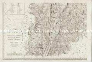
Carte du Tyrol. Mit einer Nebenkarte: Carte Générale
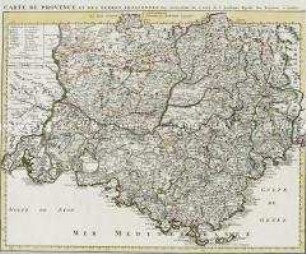
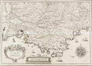
Carte de Provence
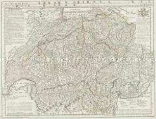
Carte de Suisse
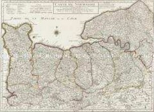
Carte de Normandie
Carte de Provence
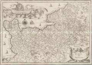
Carte de Normandie
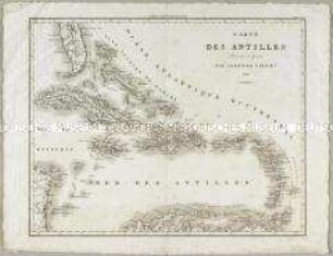
Carte des Antilles
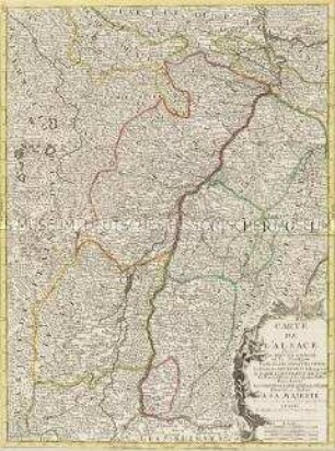
Carte de l'Alsace
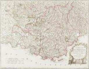
Carte de la Provence
Carte Générale de l'Empire d'Allemagne. Mit einer Übersichtskarte
Grand Atlas D'Allemagne. Übersicht: Plan de la Nouvelle Carte Geographique Speciale D'Allemagne
Carte de la Partie Septentrionale de l'Empire Otoman
Carte du Tyrol. Mit einer Nebenkarte: Carte Générale
Carte de Provence
Carte de Suisse
Carte de Normandie
Carte de Provence
Carte de Normandie
Carte des Antilles
Carte de l'Alsace