- Alternativer Titel
-
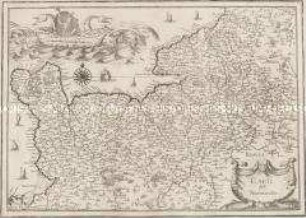
CARTE DE NORMANDIE / ou sont marquez éxactement LES PAYS ou CONTRÉES enfermées das cette PROVINCE / aussi bien que es Villes Bourgs Paroisses at autres lieux / PAR GUILLAUME DEL ISLE de l'Academie Royale des Sciences
- Standort
-
Deutsches Historisches Museum, Berlin
- Inventarnummer
-
Do 2006/93
- Maße
-
Höhe x Breite: 57,5 x 80,3 cm (Blatt)
Höhe x Breite: 47,3 x 65,2 cm (Karte)
Höhe x Breite: 49,8 x 67,8 cm (Platte)
- Material/Technik
-
Druckfarbe, Papier, Kupferstich, grenzkoloriert
- Klassifikation
-
Kartografie (Gattung)
- Bezug (was)
-
Frankreich
Normandie
- Ereignis
-
Herstellung
- (wer)
-
Kartograf: Guillaume Delisle
Kartograf, Verleger: Philippe Buache
- (wo)
-
Paris, Frankreich
- (wann)
-
zwischen 1716 und 1745
- Rechteinformation
-
Deutsches Historisches Museum
- Letzte Aktualisierung
-
24.03.2023, 09:28 MEZ
Datenpartner
Dieses Objekt wird bereitgestellt von:
Stiftung Deutsches Historisches Museum. Bei Fragen zum Objekt wenden Sie sich bitte an den Datenpartner.
Stiftung Deutsches Historisches Museum. Bei Fragen zum Objekt wenden Sie sich bitte an den Datenpartner.
Objekttyp
- Regionalkarte
Beteiligte
- Kartograf: Guillaume Delisle
- Kartograf, Verleger: Philippe Buache
Entstanden
- zwischen 1716 und 1745
Ähnliche Objekte (12)
Carte de Normandie
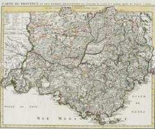
Carte de Provence
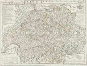
Carte de Suisse
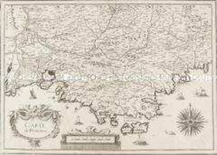
Carte de Provence
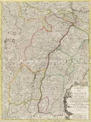
Carte de l'Alsace
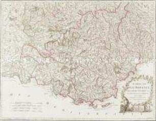
Carte de la Provence
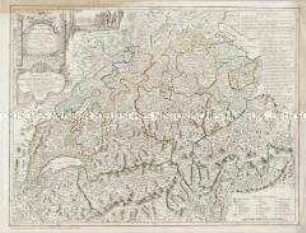
Carte de la Suisse
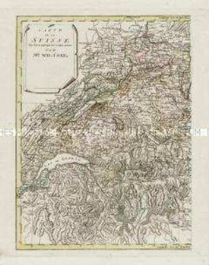
Carte de la Suisse
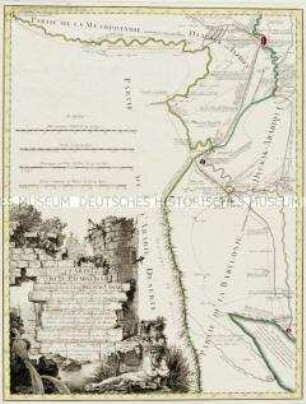
Carte de la Babylonie
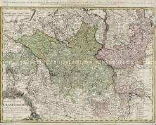
Carte de l'Electorat de Brandebourg

Carte de la Principauté de Halberstadt

Carte des environs de Boston
Carte de Normandie
Carte de Provence
Carte de Suisse
Carte de Provence
Carte de l'Alsace
Carte de la Provence
Carte de la Suisse
Carte de la Suisse
Carte de la Babylonie
Carte de l'Electorat de Brandebourg
Carte de la Principauté de Halberstadt
Carte des environs de Boston
Carte de Normandie
Carte de Provence
Carte de Suisse
Carte de Provence
Carte de l'Alsace
Carte de la Provence
Carte de la Suisse
Carte de la Suisse
Carte de la Babylonie
Carte de l'Electorat de Brandebourg
Carte de la Principauté de Halberstadt