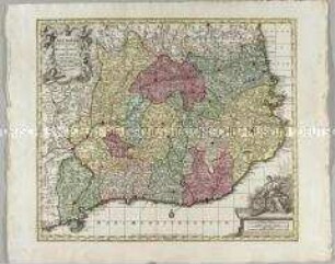
Grenzkarte
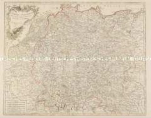
Le Cercle De Westphalie divisé en tous ses Etats et Souverainetés., M ca. 1 : 1 300 000
- Location
-
Deutsches Historisches Museum, Berlin
- Inventory number
-
1988/1733
- Measurements
-
Höhe x Breite: 97 x 64,1 cm (Blatt), Höhe x Breite: 88 x 57,5 cm (Platte), Höhe x Breite: 80 x 54,3 cm (Karte)
- Material/Technique
-
Papier, Kupferstich koloriert
- Classification
-
Kartografie (Gattung)
- Subject (what)
-
Kreisverfassung
Westfalen
- Event
-
Herstellung
- (who)
-
Geograph, Kartograf: Nicolas Sanson (1600-1667) ?
Geograph, Kartograf: Charles-Hubert-Alexis Jaillot (1632-1739)
Stecher, Kartograf: Thomas Kitchin
- (where)
-
Paris
- (when)
-
1692
- Rights
-
Deutsches Historisches Museum
- Last update
-
24.03.2023, 9:29 AM CET
Data provider
This object is provided by:
Stiftung Deutsches Historisches Museum. If you have any questions about the object, please contact the data provider.
Stiftung Deutsches Historisches Museum. If you have any questions about the object, please contact the data provider.
Object type
- Grenzkarte
Associated
- Geograph, Kartograf: Nicolas Sanson (1600-1667) ?
- Geograph, Kartograf: Charles-Hubert-Alexis Jaillot (1632-1739)
- Stecher, Kartograf: Thomas Kitchin
Time of origin
- 1692
Other Objects (12)
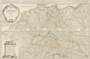
L'Empire d'Allemagne divisé en ses Cercles et ses Etats
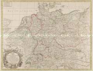
Carte d'Allemagne contenant les Etats de la Maison d'Autriche, les Electorats de Mayence, Treves, Cologne, Baviere, du Haut et Bas Rhein, de Saxe, de Brandebourg, et d'Hanovre, le Royaume de Boheme, la Silesie, les Cercles de Souabe, Franconie, Westphalie, Hte. et Bse. Saxe, et le Landgraviat de Hesse, etc., etc.
L'Empire d'Allemagne distingué suivant l'estendüe de tous les Estats, Principautés, et Souverainetés qui passent ou qui ont passé jusque a present sous le Nom d'Allemagne
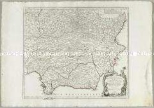
Partie Meridionale des Etats de Castille
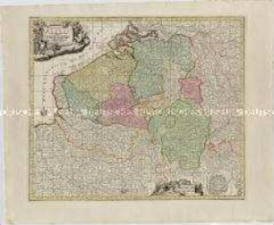
Germaniae Inferioris sive Belgii. Mit einem Fortifikationsplan: Ostende
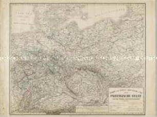
Nord und West-Deutschland der Preussische Staat und die übrigen Zollvereinsstaaten
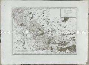
Atlas Nouveau: Gouvernement de Flandre
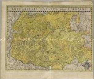
Lotharingia Ducatus
Cataloniae Principatus et Ruscinonis ac Cerretaniae Comitatuum

Deutschland vom Major C. F. Hammer. Nürnberg bey Friedrich Campe

Tableau Général de l'Asie
Nouvelle Carte de l'Etat de Milan. Mit einer Nebenkarte: Nouvelle Carte du Duché de Mantoue
L'Empire d'Allemagne divisé en ses Cercles et ses Etats
Carte d'Allemagne contenant les Etats de la Maison d'Autriche, les Electorats de Mayence, Treves, Cologne, Baviere, du Haut et Bas Rhein, de Saxe, de Brandebourg, et d'Hanovre, le Royaume de Boheme, la Silesie, les Cercles de Souabe, Franconie, Westphalie, Hte. et Bse. Saxe, et le Landgraviat de Hesse, etc., etc.
L'Empire d'Allemagne distingué suivant l'estendüe de tous les Estats, Principautés, et Souverainetés qui passent ou qui ont passé jusque a present sous le Nom d'Allemagne
Partie Meridionale des Etats de Castille
Germaniae Inferioris sive Belgii. Mit einem Fortifikationsplan: Ostende
Nord und West-Deutschland der Preussische Staat und die übrigen Zollvereinsstaaten
Atlas Nouveau: Gouvernement de Flandre
Lotharingia Ducatus
Cataloniae Principatus et Ruscinonis ac Cerretaniae Comitatuum
Deutschland vom Major C. F. Hammer. Nürnberg bey Friedrich Campe
Tableau Général de l'Asie