- Alternative title
-
ISLA DE LA GRAN / CANARIA, / POR DON TOMAS LOPEZ, / Geografo de los Dominos de S.M,
- Location
-
Deutsches Historisches Museum, Berlin
- Inventory number
-
Do 2006/206
- Measurements
-
Höhe x Breite: 45,5 x 60 cm (Blatt)
Höhe x Breite: 34 x 37,8 cm (Karte)
Höhe x Breite: 39 x 41,8 cm (Platte)
- Material/Technique
-
Druckfarbe, Papier, Kupferstich, grenzkoloriert
- Classification
-
Kartografie (Gattung)
- Subject (what)
-
Gran Canaria
Kanarische Inseln
Spanien
Afrika
- Event
-
Herstellung
- (who)
-
Geograph, Kartograf: Tomás López de Vargas Machuca
- (where)
-
Madrid, Spanien
- (when)
-
1780
- Rights
-
Deutsches Historisches Museum
- Last update
-
24.03.2023, 9:27 AM CET
Data provider
This object is provided by:
Stiftung Deutsches Historisches Museum. If you have any questions about the object, please contact the data provider.
Stiftung Deutsches Historisches Museum. If you have any questions about the object, please contact the data provider.
Object type
- Regionalkarte
Associated
- Geograph, Kartograf: Tomás López de Vargas Machuca
Time of origin
- 1780
Other Objects (12)
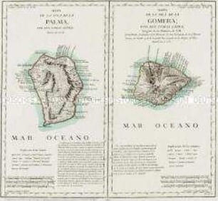
Mapa de la Isla de la Palma / Mapa de la Isla de la Gomera

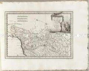
Mapa de la Isla de Lanzarote. Mit einer Nebenkarte: Mapa de la Isla del Hierro
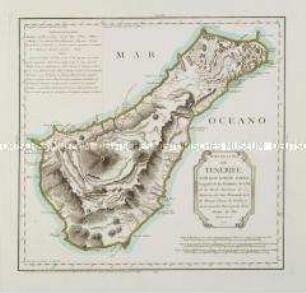
Mapa de la Isla de Tenerife
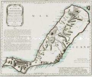
Mapa de la Isla de Fuerteventura
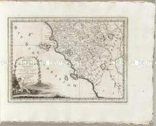
Nuovo Atlante Geografico Universale: La Parte Meridionale Del Gran-Ducato Di Toscana
Nuovo Atlante Geografico Universale: La Parte Settentrionale Del Gran-Ducato Di Toscana
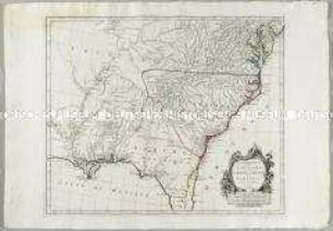
Partie Méridionale de la Louisiane, avec de la Floride, la Caroline et la Virginie
Nuovo Atlante Geografico Universale: La Biscaglia La Castilia Vecchia e La Navarra
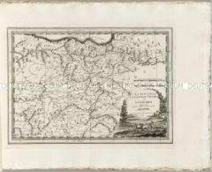
La Lorraine

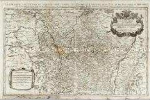
La Prusse
La Prusse
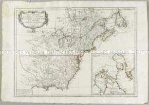
Carte Générale du Canada, de la Louisiane, de la Floride, de la Caroline, de la Virginie, de la Nouvelle Angleterre etc. Mit einer Anschlusskarte
Mapa de la Isla de la Palma / Mapa de la Isla de la Gomera
Mapa de la Isla de Lanzarote. Mit einer Nebenkarte: Mapa de la Isla del Hierro
Mapa de la Isla de Tenerife
Mapa de la Isla de Fuerteventura
Nuovo Atlante Geografico Universale: La Parte Meridionale Del Gran-Ducato Di Toscana
Nuovo Atlante Geografico Universale: La Parte Settentrionale Del Gran-Ducato Di Toscana
Partie Méridionale de la Louisiane, avec de la Floride, la Caroline et la Virginie
Nuovo Atlante Geografico Universale: La Biscaglia La Castilia Vecchia e La Navarra
La Lorraine
La Prusse
La Prusse