Regionalkarte
Mapa de la Isla de Lanzarote. Mit einer Nebenkarte: Mapa de la Isla del Hierro
- Alternative title
-
MAPA / DE LA ISLA DE / LANZAROTE / POR DON TOMÁS LOPEZ,
- Location
-
Deutsches Historisches Museum, Berlin
- Inventory number
-
Do 2006/214
- Measurements
-
Höhe x Breite: 45,5 x 60,5 cm (Blatt)
Höhe x Breite: 34,4 x 36,7 cm (Karte)
Höhe x Breite: 38,5 x 41,2 cm (Platte)
- Material/Technique
-
Druckfarbe, Papier, Kupferstich, grenzkoloriert
- Classification
-
Kartografie (Gattung)
- Subject (what)
-
Lanzarote
Kanarische Inseln
Spanien
- Event
-
Herstellung
- (who)
-
Geograph: Tomás López de Vargas Machuca
- (where)
-
Madrid, Spanien
- (when)
-
1779
- Rights
-
Deutsches Historisches Museum
- Last update
-
24.03.2023, 9:28 AM CET
Data provider
This object is provided by:
Stiftung Deutsches Historisches Museum. If you have any questions about the object, please contact the data provider.
Stiftung Deutsches Historisches Museum. If you have any questions about the object, please contact the data provider.
Object type
- Regionalkarte
Associated
- Geograph: Tomás López de Vargas Machuca
Time of origin
- 1779
Other Objects (12)

Mapa De La Isla De Lanzarote
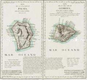
Mapa de la Isla de la Palma / Mapa de la Isla de la Gomera
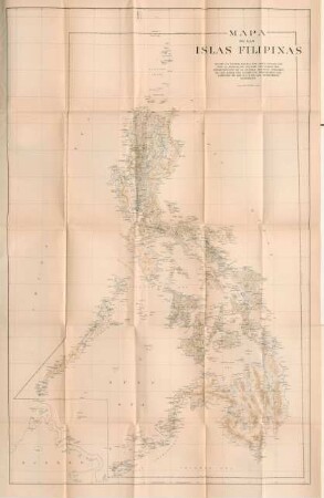
Mapa de las Islas Filipinas

Mapa De La Isla De Tenerife

Mapa De La Isla De Fuerteventura
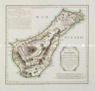
Mapa de la Isla de Tenerife
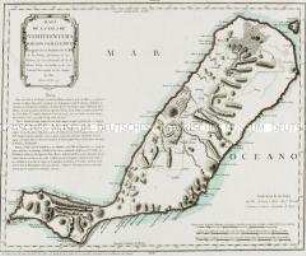
Mapa de la Isla de Fuerteventura
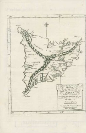
Mapa de la Isla de Panay
Islas Filipinas. Mapa etnografico

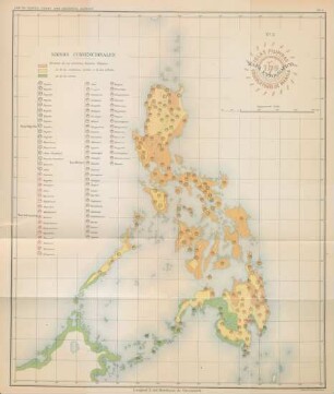
Mapa general. Islas Filipinas

Mapa De La Isla De La Palma
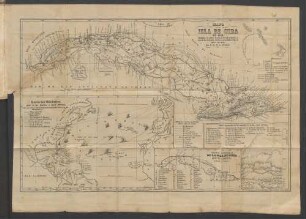
Mapa de la isla de Cuba en 1853.
Mapa De La Isla De Lanzarote
Mapa de la Isla de la Palma / Mapa de la Isla de la Gomera
Mapa de las Islas Filipinas
Mapa De La Isla De Tenerife
Mapa De La Isla De Fuerteventura
Mapa de la Isla de Tenerife
Mapa de la Isla de Fuerteventura
Mapa de la Isla de Panay
Islas Filipinas. Mapa etnografico
Mapa general. Islas Filipinas
Mapa De La Isla De La Palma