- Alternative title
-
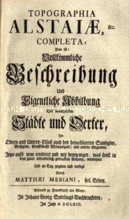
M. Z. Topographiae Galliae Pars Prima Oder, Der Oerter Beschreib- und Contrafaitung in dem Mächtigen Königreich Franckreich Der Erste Theil.
- Location
-
Deutsches Historisches Museum, Berlin
- Inventory number
-
RA 52/5038 -1<2>-4<2>.1
- Measurements
-
Höhe x Breite: 32,5 x 20,3 cm, Tiefe: 6,2 cm, Buchformat: 2°
- Material/Technique
-
Buchblock: Papier, Kupferstich; Einband: Pappe, Pergament; Schnitt: Papier, Farbschnitt, blau
- Classification
-
Druckschriften (Gattung)
- Subject (what)
-
Frankreich
Île de France
Topographie
- Event
-
Herstellung
- (who)
-
Verfasser: Martin Zeiller
Stecher: Matthäus Merian (1593)
Verlag: Caspar Merian
- (where)
-
Frankfurt (Main), Deutschland [historisch: Heiliges Römisches Reich]
- (when)
-
um 1665
- Rights
-
Deutsches Historisches Museum
- Last update
-
24.03.2023, 9:31 AM CET
Data provider
This object is provided by:
Stiftung Deutsches Historisches Museum. If you have any questions about the object, please contact the data provider.
Stiftung Deutsches Historisches Museum. If you have any questions about the object, please contact the data provider.
Object type
- Druckschrift
Associated
- Verfasser: Martin Zeiller
- Stecher: Matthäus Merian (1593)
- Verlag: Caspar Merian
Time of origin
- um 1665
Other Objects (12)

Hauptregister über alle Bände der Merianschen Topographie
Topographie des Elsaß

Topographie von Bayern

Topographie von Hessen

Topographie von Italien

Topographie der Schweiz

Topographie der Schweiz

Topographie von Bayern
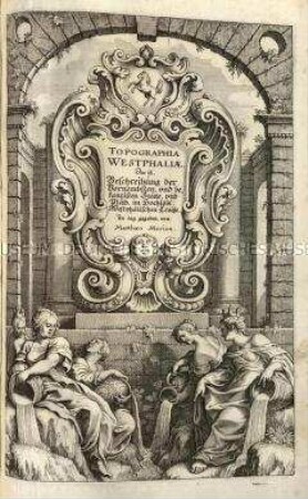
Topographie von Westfalen

Topographie der Schweiz

Topographie von Franken

Topographie von Franken
Hauptregister über alle Bände der Merianschen Topographie
Topographie des Elsaß
Topographie von Bayern
Topographie von Hessen
Topographie von Italien
Topographie der Schweiz
Topographie der Schweiz
Topographie von Bayern
Topographie von Westfalen
Topographie der Schweiz
Topographie von Franken
Topographie von Franken
Hauptregister über alle Bände der Merianschen Topographie
Topographie des Elsaß
Topographie von Bayern
Topographie von Hessen
Topographie von Italien
Topographie der Schweiz
Topographie der Schweiz
Topographie von Bayern
Topographie von Westfalen
Topographie der Schweiz
Topographie von Franken