Politisch-Administrative Karte
Politsch-administrative Karte von England und Teilen Europas
- Alternative title
-
England-Karte der Deutschen Allgmeinen Zeitung
- Location
-
Deutsches Historisches Museum, Berlin
- Inventory number
-
Do 70/448II
- Measurements
-
Höhe x Breite: 84 x 60 cm
- Material/Technique
-
Papier, gedruckt
- Classification
-
Kartografie (Gattung)
- Subject (what)
-
Weltkrieg, 2.
- Event
-
Herstellung
- (who)
-
Verlag: Deutscher Verlag
- (where)
-
Deutschland [historisch: Deutsches Reich]
- (when)
-
1940
- Rights
-
Deutsches Historisches Museum
- Last update
-
24.03.2023, 9:29 AM CET
Data provider
This object is provided by:
Stiftung Deutsches Historisches Museum. If you have any questions about the object, please contact the data provider.
Stiftung Deutsches Historisches Museum. If you have any questions about the object, please contact the data provider.
Object type
- Politisch-Administrative Karte
Associated
- Verlag: Deutscher Verlag
Time of origin
- 1940
Other Objects (12)

Politisch-administrative Karte des Mittelmeerraumes und des Nahen Ostens
Politisch-administrative Karte der UdSSR unmittelbar nach dem Überfall der Wehrmacht (mit handschriftlichen Markierungen)
Politische-administrative Karte Osteuropas nach der Besetzung Polens und vor dem Überfall auf die Sowjetunion (Beilage der "Deutschen Allgemeinen Zeitung")
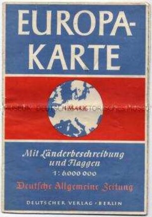
Politisch-administrative Karte von Europa mit den Flaggen und statistischen Angaben zu den Ländern
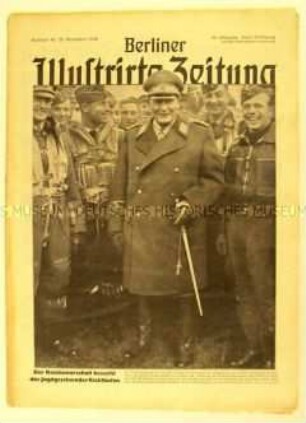
Wochenzeitschrift "Berliner Illustrirte Zeitung" u.a. zum Krieg gegen England

Illustrierte Wochenzeitschrift "Signal" zur Kriegslage und den Perspektiven Europas
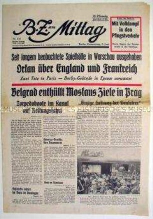
Berliner Tageszeitung "B.Z. am Mittag" zu verschiedenen Geschehnissen in Europa
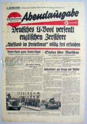
Titelblatt der Abendausgabe der "Berliner Volks-Zeitung" zum Seekrieg gegen England
Karte der in der Tschecho-Slowakei ansässigen Nationalitäten
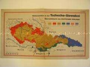
Karte der in der Tschecho-Slowakei ansässigen Nationalitäten
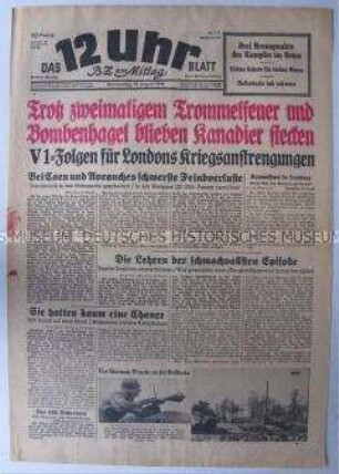
Berliner Tageszeitung "Das 12 Uhr Blatt" zu den Kämpfen in Nordfrankreich und zum Einsatz der V 1 gegen England
Karte von Deutschland und den angrenzenden Staaten aus der "Deutschen Allgemeinen Zeitung"
Politisch-administrative Karte des Mittelmeerraumes und des Nahen Ostens
Politisch-administrative Karte der UdSSR unmittelbar nach dem Überfall der Wehrmacht (mit handschriftlichen Markierungen)
Politische-administrative Karte Osteuropas nach der Besetzung Polens und vor dem Überfall auf die Sowjetunion (Beilage der "Deutschen Allgemeinen Zeitung")
Politisch-administrative Karte von Europa mit den Flaggen und statistischen Angaben zu den Ländern
Wochenzeitschrift "Berliner Illustrirte Zeitung" u.a. zum Krieg gegen England
Illustrierte Wochenzeitschrift "Signal" zur Kriegslage und den Perspektiven Europas
Berliner Tageszeitung "B.Z. am Mittag" zu verschiedenen Geschehnissen in Europa
Titelblatt der Abendausgabe der "Berliner Volks-Zeitung" zum Seekrieg gegen England
Karte der in der Tschecho-Slowakei ansässigen Nationalitäten
Karte der in der Tschecho-Slowakei ansässigen Nationalitäten
Berliner Tageszeitung "Das 12 Uhr Blatt" zu den Kämpfen in Nordfrankreich und zum Einsatz der V 1 gegen England