- Reference number
-
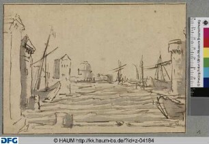
Slg-KUP, 3948
- Dimensions
-
165 x 105 cm
- Formal description
-
Einrisse an den Rändern
- Further information
-
Ausführung: Zeichnung
Maßstab: 1 : 2000
- Context
-
Karten und Pläne >> 01. Stadtdarstellungen >> 01.06. Verkehr und Wirtschaft: Bahnhof, Hafen, Kanal
- Holding
-
Slg-KUP Karten und Pläne
- Date of creation
-
1958
- Other object pages
- Delivered via
- Last update
-
05.11.2025, 4:14 PM CET
Data provider
This object is provided by:
Stadtarchiv Münster. If you have any questions about the object, please contact the data provider.
Stadtarchiv Münster. If you have any questions about the object, please contact the data provider.
Object type
- Archivale
Time of origin
- 1958
Other Objects (12)

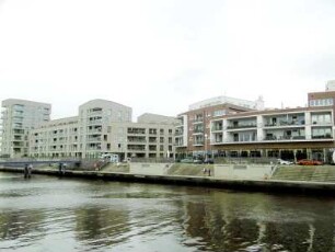
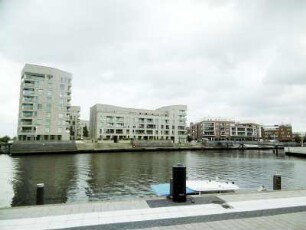
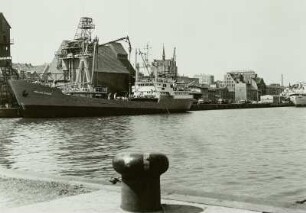
Stadthafen
Stadthafen

Stadthafen
Stadthafen
Stadthafen Münster
Stadthafen Münster
Rostock: Stadthafen
Der Stadthafen
Rostock: Stadthafen

Dubrovnik: Stadthafen
Stadthafen. Prospekt (?)
Rostock, Stadthafen
Stadthafen
Stadthafen
Stadthafen
Stadthafen
Stadthafen Münster
Stadthafen Münster
Rostock: Stadthafen
Der Stadthafen
Rostock: Stadthafen
Dubrovnik: Stadthafen
Stadthafen. Prospekt (?)
Rostock, Stadthafen
Stadthafen
Stadthafen
Stadthafen
Stadthafen
Stadthafen Münster
Stadthafen Münster
Rostock: Stadthafen
Der Stadthafen
Rostock: Stadthafen
Dubrovnik: Stadthafen
Stadthafen. Prospekt (?)