Seekarte
A Correct Chart of the German Ocean
Karte zeigt die Nordsee (German Ocean), den Ärmelkanal und die Ostseeausgänge.- Vermerk auf der Karte: "For Mr Tindals Continuation of Mr Rapin's History", d.h. die Karte entstammt folgendem Werk: Rapin-Thoyras, Paul de: "The history of England. - Continued from the revolution to the accession of King George II by N. Tindal"". - London: J. und P. Knapton, 1744-47.
- Location
-
Internationales Maritimes Museum Hamburg
- Collection
-
Karten/Seekarten
- Other number(s)
-
18426 (Objektnummer)
- Measurements
-
409 mm x 494 mm (HxB)
- Material/Technique
-
Kolorierter Kupferstich
- Inscription/Labeling
-
Übersetzung: Eine korrekte Karte des Deutschen Meeres
- Classification
-
Karte (Gattung)
- Subject (where)
-
Schweden
Großbritannien
Deutschland
Frankreich
- Event
-
Herstellung
- (when)
-
1744
- Event
-
Veröffentlichung
- (description)
-
London: J. and P. Knapton
- Sponsorship
-
Gefördert von: Die Beauftragte der Bundesregierung für Kultur und Medien
- Last update
-
05.03.2025, 4:05 PM CET
Data provider
This object is provided by:
Peter Tamm Sen. Stiftung. If you have any questions about the object, please contact the data provider.
Peter Tamm Sen. Stiftung. If you have any questions about the object, please contact the data provider.
Object type
- Seekarte
Time of origin
- 1744
Other Objects (12)
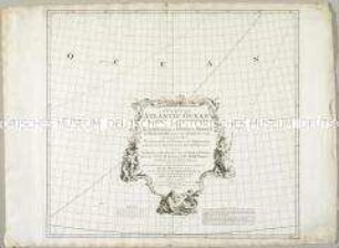
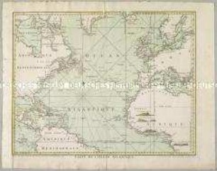
A Chart of the Atlantic Ocean
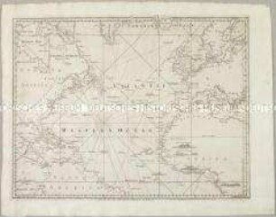
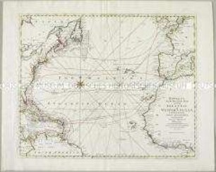
A Chart of the Atlantic Ocean I. Sheet. Mit vier Ansichten
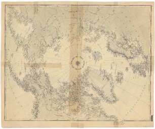
Chart of the North Polar Sea
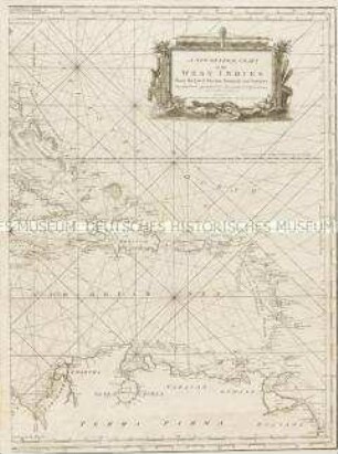
A new general Chart of the Westindies
![A Chart of the Eems Elve, Weser, Eyder, & Hever. With the Holy Island [Helgoland].](https://iiif.deutsche-digitale-bibliothek.de/image/2/d96178db-8096-4956-ab15-59053add2b29/full/!306,450/0/default.jpg)
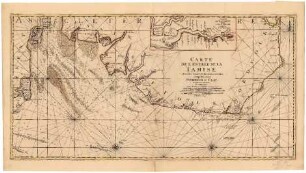
A Chart of the Eems Elve, Weser, Eyder, & Hever. With the Holy Island [Helgoland].
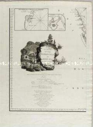
A Chart of the Arabian Gulf or Red Sea. Mit neun Nebenkarten und vielen Aufrissdarstellungen
Carte de l'Océan Atlantique. Mit vier Ansichten
Bowles's new Pocket-Map of the Atlantic or Western Ocean
Carte de l'Entrée de la Tamise
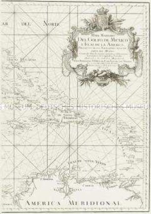
Mapa Maritimo del Golfo de Mexico.
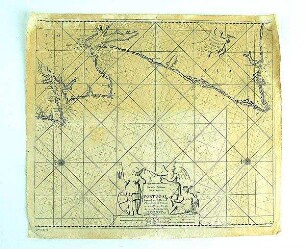
Seekarte
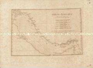
Golfe Persique
A Chart of the Atlantic Ocean
A Chart of the Atlantic Ocean I. Sheet. Mit vier Ansichten
Chart of the North Polar Sea
A new general Chart of the Westindies
A Chart of the Eems Elve, Weser, Eyder, & Hever. With the Holy Island [Helgoland].
A Chart of the Arabian Gulf or Red Sea. Mit neun Nebenkarten und vielen Aufrissdarstellungen
Carte de l'Océan Atlantique. Mit vier Ansichten
Bowles's new Pocket-Map of the Atlantic or Western Ocean
Carte de l'Entrée de la Tamise
Mapa Maritimo del Golfo de Mexico.
Seekarte