Altkarte | Stadtplan
Survey of the City and Surburbs of Dublin with the Division of the Parishes Reduc'd from the Large Plan in four Sheets : To John Rutland Esq. r This Plan is most humbly inscrib'd = Plan de la Ville, et Faubourgs de Dublin, avec La Division Des Paroisses Redui D'apres celui qui Est en 4 feuilles
- Weitere Titel
-
Plan de la Ville, et Faubourgs de Dublin, avec La Division Des Paroisses Redui D'apres celui qui Est en 4 feuilles
- Standort
-
München, Bayerische Staatsbibliothek -- Mapp. VI,79
- Maße
-
70 x 48 cm
- Umfang
-
1 Plan
- Anmerkungen
-
Kupferstich
Maßstab in graph. Form (British Feet, Irish Perches)
- Schlagwort
-
Dublin
- Ereignis
-
Veröffentlichung
- (wo)
-
[London]
- (wann)
-
1757
- Beteiligte Personen und Organisationen
- URN
-
urn:nbn:de:bvb:12-bsb00109464-6
- Letzte Aktualisierung
-
27.11.2025, 08:43 MEZ
Datenpartner
Dieses Objekt wird bereitgestellt von:
Bayerische Staatsbibliothek. Bei Fragen zum Objekt wenden Sie sich bitte an den Datenpartner.
Bayerische Staatsbibliothek. Bei Fragen zum Objekt wenden Sie sich bitte an den Datenpartner.
Objekttyp
- Altkarte
- Stadtplan
Entstanden
- 1757
Ähnliche Objekte (12)

Pecudarium or Cattle Division, in the Dublin Society's Botanical Garden of Glasnevin
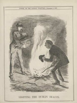
Lighting the Dublin beacon

Dublin: Dublin Airport

Dublin: Dublin Airport

Dublin: Dublin Airport

The Combridge Galleries in Dublin

The Dublin Practice of Midwifery

The Talbot Press, Dublin (Irland)

The Memoirs of the Archbishops of Dublin

Byron, Samuel: Wilson's Dublin directory, for the year 1792. ... - Dublin : Wilson, 1792

The Nationalization of Trinity College, Dublin.
The Cambridge and Dublin mathematical journal.
Pecudarium or Cattle Division, in the Dublin Society's Botanical Garden of Glasnevin
Lighting the Dublin beacon
Dublin: Dublin Airport
Dublin: Dublin Airport
Dublin: Dublin Airport
The Combridge Galleries in Dublin
The Dublin Practice of Midwifery
The Talbot Press, Dublin (Irland)
The Memoirs of the Archbishops of Dublin
Byron, Samuel: Wilson's Dublin directory, for the year 1792. ... - Dublin : Wilson, 1792
The Nationalization of Trinity College, Dublin.