Altkarte | Stadtplan
Survey of the City and Surburbs of Dublin with the Division of the Parishes Reduc'd from the Large Plan in four Sheets : To John Rutland Esq. r This Plan is most humbly inscrib'd = Plan de la Ville, et Faubourgs de Dublin, avec La Division Des Paroisses Redui D'apres celui qui Est en 4 feuilles
- Alternative title
-
Plan de la Ville, et Faubourgs de Dublin, avec La Division Des Paroisses Redui D'apres celui qui Est en 4 feuilles
- Location
-
München, Bayerische Staatsbibliothek -- Mapp. VI,79
- Dimensions
-
70 x 48 cm
- Extent
-
1 Plan
- Notes
-
Kupferstich
Maßstab in graph. Form (British Feet, Irish Perches)
- Keyword
-
Dublin
- Event
-
Veröffentlichung
- (where)
-
[London]
- (when)
-
1757
- Contributor
- URN
-
urn:nbn:de:bvb:12-bsb00109464-6
- Last update
-
27.11.2025, 8:43 AM CET
Data provider
This object is provided by:
Bayerische Staatsbibliothek. If you have any questions about the object, please contact the data provider.
Bayerische Staatsbibliothek. If you have any questions about the object, please contact the data provider.
Object type
- Altkarte
- Stadtplan
Time of origin
- 1757
Other Objects (12)

Pecudarium or Cattle Division, in the Dublin Society's Botanical Garden of Glasnevin
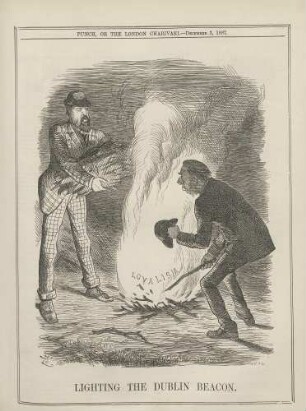
Lighting the Dublin beacon

Dublin: Dublin Airport

Dublin: Dublin Airport

Dublin: Dublin Airport

The Combridge Galleries in Dublin

The Dublin Practice of Midwifery

The Talbot Press, Dublin (Irland)

The Memoirs of the Archbishops of Dublin

Byron, Samuel: Wilson's Dublin directory, for the year 1792. ... - Dublin : Wilson, 1792

The Nationalization of Trinity College, Dublin.
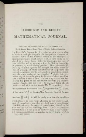
The Cambridge and Dublin mathematical journal.
Pecudarium or Cattle Division, in the Dublin Society's Botanical Garden of Glasnevin
Lighting the Dublin beacon
Dublin: Dublin Airport
Dublin: Dublin Airport
Dublin: Dublin Airport
The Combridge Galleries in Dublin
The Dublin Practice of Midwifery
The Talbot Press, Dublin (Irland)
The Memoirs of the Archbishops of Dublin
Byron, Samuel: Wilson's Dublin directory, for the year 1792. ... - Dublin : Wilson, 1792
The Nationalization of Trinity College, Dublin.