Altkarte
[Carte marine selon les nauigations des Portugués, contenant les quatre parties de l'Afrique ...]
- Alternative title
-
[Carte marine selon les navigations des Portugués, contenant les quatre parties de l'Afrique ...]
- Location
-
München, Bayerische Staatsbibliothek -- Hbks/F 128 a#Beibd.1,Kartenbeilage vor S. 1
- Dimensions
-
38 x 28 cm, gefaltet
- Extent
-
1 Kt.
- Language
-
Französisch
- Notes
-
Kupferstich
S oben. - Ohne Maßstabsangabe. - Ohne Titel (Titel aus d. Text auf d. Rücks. konstruiert). - Lit. in: Norwich's Maps of Africa, 2. ed. 1997, Map 7, S. 10
- Bibliographic citation
-
Leo
: Description De L'Afrique ; 1 ; [Kartenbeilage vor S. 1]
- Keyword
-
Afrika
- Event
-
Veröffentlichung
- (where)
-
[Lyon]
- (who)
-
[Iean Temporal]
- (when)
-
[1556]
- Contributor
- URN
-
urn:nbn:de:bvb:12-bsb00137443-7
- Last update
-
16.04.2025, 8:41 AM CEST
Data provider
This object is provided by:
Bayerische Staatsbibliothek. If you have any questions about the object, please contact the data provider.
Bayerische Staatsbibliothek. If you have any questions about the object, please contact the data provider.
Object type
- Altkarte
Associated
- Leo (Africanus)
- Temporarius, Johannes
- [Iean Temporal]
Time of origin
- [1556]
Other Objects (12)

Les Vandales et l'Afrique
Les arts de l'Afrique
Les Maladies de l'Afrique
Les Maladies de l'Afrique
Les Maladies de l'Afrique
Les Iles De L'Afrique.

André-Jean Tudesq: L'Afrique parle, l'Afrique écoute. Les radios en Afrique subsaharienne
Les fossiles de l'Afrique Centrale
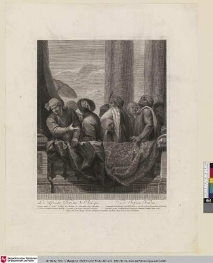
Les differentes Nations de l'Afrique
Les Moutons de l'Afrique occidentale

Les Écoles Dans Les Colonies Allemandes De L'Afrique.
IV. Les Monuments romains de l'Afrique
Les Vandales et l'Afrique
Les arts de l'Afrique
Les Maladies de l'Afrique
Les Maladies de l'Afrique
Les Maladies de l'Afrique
Les Iles De L'Afrique.
André-Jean Tudesq: L'Afrique parle, l'Afrique écoute. Les radios en Afrique subsaharienne
Les fossiles de l'Afrique Centrale
Les differentes Nations de l'Afrique
Les Moutons de l'Afrique occidentale
Les Écoles Dans Les Colonies Allemandes De L'Afrique.