Karte
A Chart of the Islands to the Southward of Tchu-San on the Eastern Coast of China : generally laid down from one published by Alexander Dalrymple
- Standort
-
Leibniz-Institut für Länderkunde e.V., Leipzig
- Weitere Nummer(n)
-
HK 0137 (Signatur)
- Material/Technik
-
Grenzen kolor.
- Inschrift/Beschriftung
-
Maßstab in graph. Form (Nautic Miles). - Titel rechts Mitte. - Mit 2 Nebenkt.: [Thus appeared the harbour of Tchu-San from the anchorae of the Clarence] & [Sketch by Compass]. - Kt. gehört zu d. Werk: Staunton, George: An authentic account of an Embassy from the King of Great Britain to the Emperor of China, 2 Bde. - Relief angedeutet
- Bezug (was)
-
Küste
Altkarte
China
Zhejiang
- Ereignis
-
Veröffentlichung
- (wer)
-
George Nicol (Verlag)
- (wo)
-
[London]
- (wann)
-
1796
- Rechteinformation
-
Leibniz-Institut für Länderkunde e.V.
- Letzte Aktualisierung
-
15.05.2025, 12:43 MESZ
Datenpartner
Dieses Objekt wird bereitgestellt von:
Leibniz-Institut für Länderkunde e. V.. Bei Fragen zum Objekt wenden Sie sich bitte an den Datenpartner.
Leibniz-Institut für Länderkunde e. V.. Bei Fragen zum Objekt wenden Sie sich bitte an den Datenpartner.
Objekttyp
- Karte
Beteiligte
- George Nicol (Verlag)
Entstanden
- 1796
Ähnliche Objekte (12)
The Facial Muscles of Mammals generally.

Chart of the Harbor of Ymuiden

Chart of the Coast of Tyre
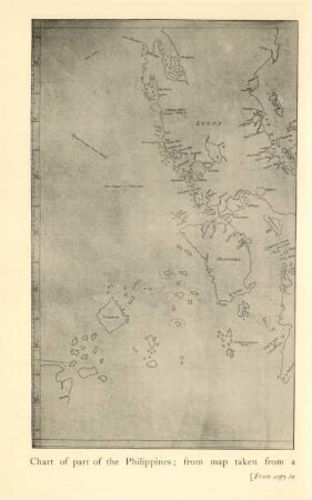
Chart of part of the Philippines ...
The natural history of courtship; Laid by the heels
![[Pigafetta's chart of the Moluccas]](https://iiif.deutsche-digitale-bibliothek.de/image/2/0332097d-9126-4206-bbc4-14b59db2b46b/full/!306,450/0/default.jpg)
[Pigafetta's chart of the Moluccas]
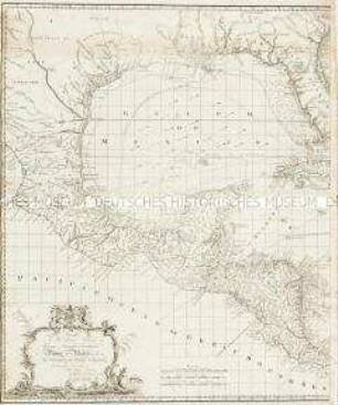
Chart of the West Indies.
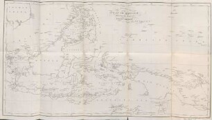
Chart of the Indian Archipelago
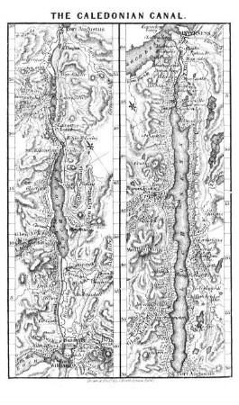
Chart of the Caledonian Canal.
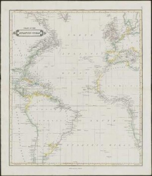
Chart Of The Atlantic Ocean
Chart of the Sandwich Isles.
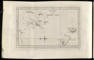
Chart of the Friendly Isles.
The Facial Muscles of Mammals generally.
Chart of the Harbor of Ymuiden
Chart of the Coast of Tyre
Chart of part of the Philippines ...
The natural history of courtship; Laid by the heels
[Pigafetta's chart of the Moluccas]
Chart of the West Indies.
Chart of the Indian Archipelago
Chart of the Caledonian Canal.
Chart Of The Atlantic Ocean
Chart of the Sandwich Isles.