Regionalkarte
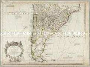
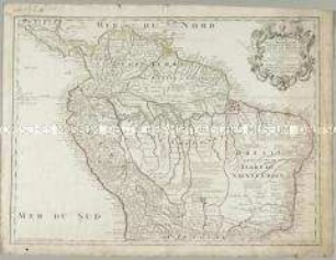
Carte du Chili Méridional, du Rio de la Plata, des Patagons, et du Détroit de Magellan
- Alternative title
-
CARTE / du CHILI Méridional, / du RIO de la PLATA, / des PATAGONS,
- Location
-
Deutsches Historisches Museum, Berlin
- Inventory number
-
Do 2006/910
- Measurements
-
Höhe x Breite: 56 x 78 cm (Blatt)
Höhe x Breite: 42,8 x 51,7 cm (Karte)
Höhe x Breite: 46 x 54,7 cm (Platte)
- Material/Technique
-
Papier, Kupferstich, grenzkoloriert
- Classification
-
Kartografie (Gattung)
- Subject (what)
-
Südamerika
- Event
-
Herstellung
- (who)
-
Geograph, Kartograf: Jean Baptiste Bourguignon d' Anville
Stecher, Kartograf: Paolo Santini
- (where)
-
Venedig, Italien
- (when)
-
1779
- Rights
-
Deutsches Historisches Museum
- Last update
-
24.03.2023, 9:30 AM CET
Data provider
This object is provided by:
Stiftung Deutsches Historisches Museum. If you have any questions about the object, please contact the data provider.
Stiftung Deutsches Historisches Museum. If you have any questions about the object, please contact the data provider.
Object type
- Regionalkarte
Associated
- Geograph, Kartograf: Jean Baptiste Bourguignon d' Anville
- Stecher, Kartograf: Paolo Santini
Time of origin
- 1779
Other Objects (12)
Carte du Paraguay du Chili du Detroit de Magellan &c.
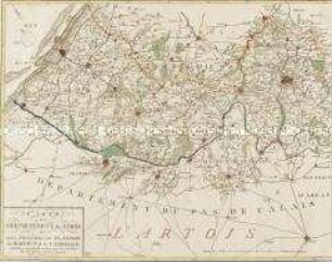
Carte du Departement du Nord
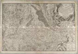
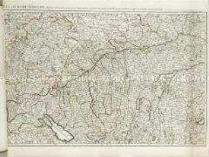
Carte Topographique du Cours du Rhin
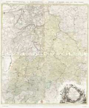
Le Landgraviat de Hesse-Cassel Meridional et Septentr. avec une Partie du Landgraviat de Hesse-Darmstat et de la Vetteravie avec autres dependences
Carte de la Terre ferme du Perou, du Bresil et du Pays des Amazones
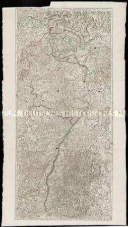
Le cours du Danube
Le cours du Rhin
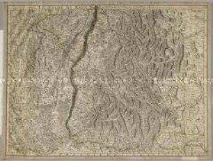
Le cours du Rhin
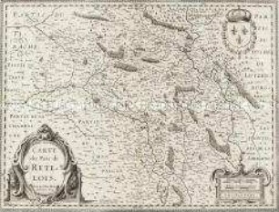
Carte du Pais de Retelois
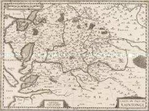
Carte du Pais de Xaintonge
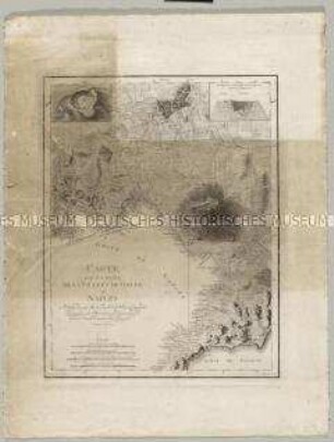
Carte des Environs de la Ville et du Golfe de Naples. Mit einer Nebenkarte: Plan du Cratere und einem Profil: Coupe du Cratere
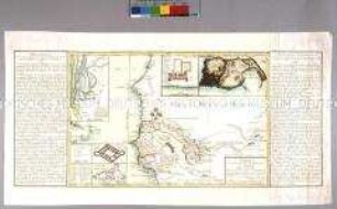
Carte du cours des fleuves du Sénégal. Mit zwei Nebenkarten: Carte de l'entrée de la riviere du Sénégal; Vue de l'isle de Gorée; und drei Plänen: Plan du Fort Saint Joseph; Plan de James-Fort; Plan du Fort St. Louis
Carte du Paraguay du Chili du Detroit de Magellan &c.
Carte du Departement du Nord
Carte Topographique du Cours du Rhin
Le Landgraviat de Hesse-Cassel Meridional et Septentr. avec une Partie du Landgraviat de Hesse-Darmstat et de la Vetteravie avec autres dependences
Carte de la Terre ferme du Perou, du Bresil et du Pays des Amazones
Le cours du Danube
Le cours du Rhin
Le cours du Rhin
Carte du Pais de Retelois
Carte du Pais de Xaintonge
Carte des Environs de la Ville et du Golfe de Naples. Mit einer Nebenkarte: Plan du Cratere und einem Profil: Coupe du Cratere