- Alternative title
-
Fluss- und Berg-Karte von Deutschland und den anliegenden Ländern
- Location
-
München, Bayerische Staatsbibliothek -- 2 Mapp. 61 b-1
- Dimensions
-
34 x 28 cm
- Extent
-
1 Kt.
- Edition
-
revidirt 1823
- Notes
-
Kupferstich
Maßstab in graph. Form (Geogr. Meilen, Franz. Lieues). - Weitere Zählung: Stielers Hand Atl. No. 18
- Bibliographic citation
-
[Deutschland vor achtzehnhundertundeins / 1] ; 20
- Keyword
-
Geschichte 1815-1866
Physische Geografie
Deutschland
Mitteleuropa
- URN
-
urn:nbn:de:bvb:12-bsb00133976-1
- Last update
-
16.04.2025, 8:47 AM CEST
Data provider
This object is provided by:
Bayerische Staatsbibliothek. If you have any questions about the object, please contact the data provider.
Bayerische Staatsbibliothek. If you have any questions about the object, please contact the data provider.
Object type
- Altkarte
Associated
- Stieler, Adolf
- Haase, ...
Time of origin
- 1823
Other Objects (12)

Europaeisches Russland auch Schweden u. Norwegen : Dabei Uebersicht Des Oesterreichischen u. Preussischen Staats

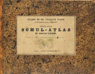
Schul-Atlas Über Alle Theile Der Erde Nach Dem Neuesten Zustande, Und Über Das Weltgebäude : Nach Stieler's Hand-Atlas verkleinert
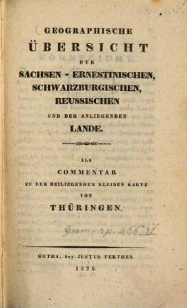
Geographische Übersicht der Sachsen-Ernestinischen, Schwarzburgischen, Reussischen und der umliegenden Lande : als Commentar zu der beiliegenden kleinen Karte von Thüringen

Hand-Atlas über alle Theile der Erde : nach dem neuesten Zustande und über das Weltgebäude
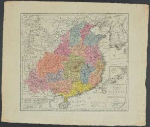
Charte von China

A. Stieler's Schul-Atlas über alle Theile der Erde und über das Weltgebäude

A. Stieler's Schul-Atlas über alle Theile der Erde und über das Weltgebäude
Hand-Atlas, [...]. Namenverzeichnis zu Stielers Hand-Atlas
Stieler's Schul-Atlas über alle Theile der Erde nach dem neuesten Zustande und über das Weltgebäude
Ad. Stieler's Schul-Atlas über alle Theile der Erde nach dem neuesten Zustande und über das Weltgebäude
Vorbemerkungen zur Vten (letzten) Supplement-Lieferung von Stieler's Hand-Atlas : Juni 1831
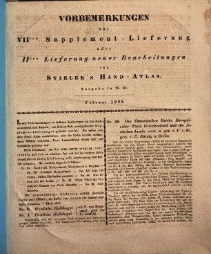
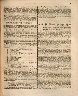
Vorbemerkungen zur VIIten Supplement-Lieferung oder IIten Lieferung neuer Bearbeitungen von Stieler's Hand-Atlas, Ausgabe in 75 Bl. : Februar 1833
Europaeisches Russland auch Schweden u. Norwegen : Dabei Uebersicht Des Oesterreichischen u. Preussischen Staats
Schul-Atlas Über Alle Theile Der Erde Nach Dem Neuesten Zustande, Und Über Das Weltgebäude : Nach Stieler's Hand-Atlas verkleinert
Geographische Übersicht der Sachsen-Ernestinischen, Schwarzburgischen, Reussischen und der umliegenden Lande : als Commentar zu der beiliegenden kleinen Karte von Thüringen
Hand-Atlas über alle Theile der Erde : nach dem neuesten Zustande und über das Weltgebäude
Charte von China
A. Stieler's Schul-Atlas über alle Theile der Erde und über das Weltgebäude
A. Stieler's Schul-Atlas über alle Theile der Erde und über das Weltgebäude
Hand-Atlas, [...]. Namenverzeichnis zu Stielers Hand-Atlas
Stieler's Schul-Atlas über alle Theile der Erde nach dem neuesten Zustande und über das Weltgebäude
Ad. Stieler's Schul-Atlas über alle Theile der Erde nach dem neuesten Zustande und über das Weltgebäude
Vorbemerkungen zur Vten (letzten) Supplement-Lieferung von Stieler's Hand-Atlas : Juni 1831