Regionalkarte
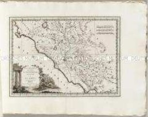
Nuovo Atlante Geografico Universale: L'Ungheria e la Turchia Europea
- Alternativer Titel
-
L'UNGHERIA / E LA / TURCHIA EUROPEA / DELINEATE
- Standort
-
Deutsches Historisches Museum, Berlin
- Inventarnummer
-
Do 2006/579.31
- Maße
-
Höhe x Breite: 47,5 x 68 cm (Blatt)
Höhe x Breite: 30,5 x 43,5 cm (Karte)
Höhe x Breite: 35 x 47,5 cm (Platte)
- Material/Technik
-
Papier, Kupferstich
- Klassifikation
-
Kartografie (Gattung)
- Bezug (was)
-
Südosteuropa
Ungarn
Türkei
Russland
- Ereignis
-
Herstellung
- (wer)
-
Stecher: Giovanni Maria Cassini
Verlag: Calcografia Camerale
- (wo)
-
Rom, Italien
- (wann)
-
1788
- Rechteinformation
-
Deutsches Historisches Museum
- Letzte Aktualisierung
-
24.03.2023, 09:27 MEZ
Datenpartner
Dieses Objekt wird bereitgestellt von:
Stiftung Deutsches Historisches Museum. Bei Fragen zum Objekt wenden Sie sich bitte an den Datenpartner.
Stiftung Deutsches Historisches Museum. Bei Fragen zum Objekt wenden Sie sich bitte an den Datenpartner.
Objekttyp
- Regionalkarte
Beteiligte
- Stecher: Giovanni Maria Cassini
- Verlag: Calcografia Camerale
Entstanden
- 1788
Ähnliche Objekte (12)
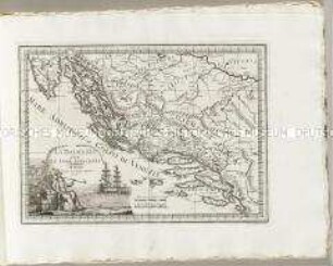
Nuovo Atlante Geografico Universale: La Dalmazia
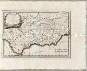
Nuovo Atlante Geografico Universale: L'Andalusia
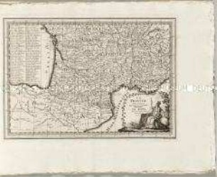
Nuovo Atlante Geografico Universale: La Francia
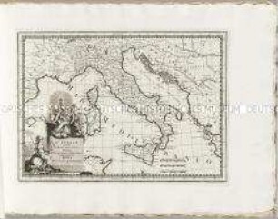
Nuovo Atlante Geografico Universale: L'Italia
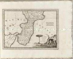
Nuovo Atlante Geografico Universale: La Calabria ulteriore
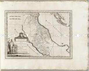
Nuovo Atlante Geografico Universale: Lo Stato Ecclesiastico
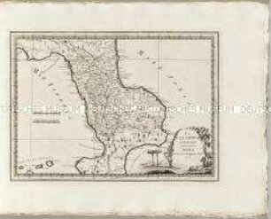
Nuovo Atlante Geografico Universale: La Calabria citeriore
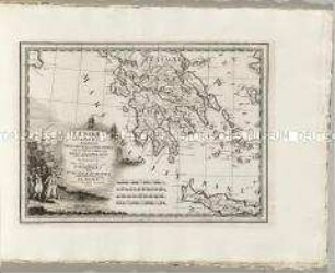
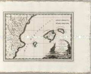
Nuovo Atlante Geografico Universale: La Morea La Livadia
Nuovo Atlante Geografico Universale: La Campagna di Roma
Nuovo Atlante Geografico Universale: Il Regno di Valenza

Nuovo Atlante Geografico Universale: Parte dell'Asia Minore
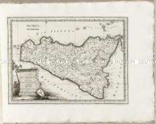
Nuovo Atlante Geografico Universale: L'Isola di Sicilia
Nuovo Atlante Geografico Universale: La Dalmazia
Nuovo Atlante Geografico Universale: L'Andalusia
Nuovo Atlante Geografico Universale: La Francia
Nuovo Atlante Geografico Universale: L'Italia
Nuovo Atlante Geografico Universale: La Calabria ulteriore
Nuovo Atlante Geografico Universale: Lo Stato Ecclesiastico
Nuovo Atlante Geografico Universale: La Calabria citeriore
Nuovo Atlante Geografico Universale: La Morea La Livadia
Nuovo Atlante Geografico Universale: La Campagna di Roma
Nuovo Atlante Geografico Universale: Il Regno di Valenza
Nuovo Atlante Geografico Universale: Parte dell'Asia Minore