- Alternative title
-
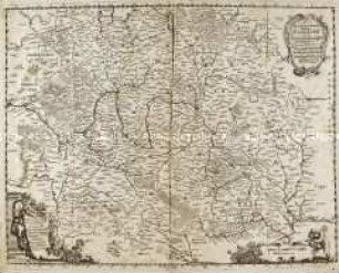
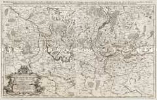
CIRCULUS / FRANCONIAE / divisus in certas ditiones, / Per SANSONIUM, Ordinarium
- Location
-
Deutsches Historisches Museum, Berlin
- Inventory number
-
Do 2006/473
- Measurements
-
Höhe x Breite: 63,3 x 94,8 cm (Blatt)
Höhe x Breite: 51,4 x 83,8 cm (Karte)
Höhe x Breite: 57,2 x 86,8 cm (Platte)
- Material/Technique
-
Papier, Kupferstich
- Classification
-
Kartografie (Gattung)
- Subject (what)
-
Franken
Fränkischer Reichskreis
- Event
-
Herstellung
- (who)
-
Geograph, Kartograf: Guillaume Sanson
Verleger: Johann Hoffmann
Stecher: B. Recknagel
- (where)
-
Nürnberg, Deutschland
- (when)
-
1677
- Rights
-
Deutsches Historisches Museum
- Last update
-
24.03.2023, 9:28 AM CET
Data provider
This object is provided by:
Stiftung Deutsches Historisches Museum. If you have any questions about the object, please contact the data provider.
Stiftung Deutsches Historisches Museum. If you have any questions about the object, please contact the data provider.
Object type
- Regionalkarte
Associated
- Geograph, Kartograf: Guillaume Sanson
- Verleger: Johann Hoffmann
- Stecher: B. Recknagel
Time of origin
- 1677
Other Objects (12)
Grundrichtiger Entwurff des gantzen Franckenlandes / Totius Franconiae accurata descriptio
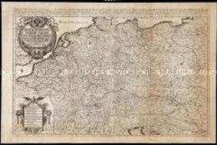
Das Hertzogthum Pommern
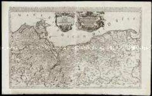
Das heyl. Römische Reich Teutscher Nation Worinnen begriffen desselben Chur- und Fürstenthümber, auch Länder sampt einen Theil von desselben angrentzenden Königreichen und Provinzien
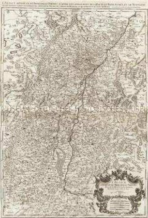
L'Alsace divisée en ses principales Parties.
Das Marggraf= und Churfurstenthum Brandenburg
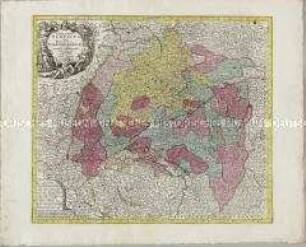
Circulus Suevicus
Circulus Suevicus

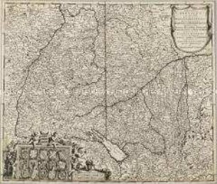
Circulus Saxoniae Superioris
1 Lastkraftwagen; Standort: Johann Hoffmann, Nürnberg; Herkunftsland: Belgien
Trauer- Trost- und DanckRede bey dem ... LeichenBegängniß Der ... Anna Marien Schultzin/ gebohrne Schmeltzerin/ Des ... Gottfried Günther Schultzens ... Diaconi allhier EheLiebsten
Heimat des in Pressath verstorbenen Johann Hoffmann aus Weihersberg (Bezahlung von Verpflegung und Leichenkosten)
![Leopold-Wilhelm Marggrav von Baden und Hochberg [et]c. [et]c. Deß heilige Rom. Reichs Armeen Ober Feld Herr wider den Türcken / Joh. Hoffman Ex.](https://iiif.deutsche-digitale-bibliothek.de/image/2/db2783cc-d905-481a-9770-89bd1b078e60/full/!306,450/0/default.jpg)
Leopold-Wilhelm Marggrav von Baden und Hochberg [et]c. [et]c. Deß heilige Rom. Reichs Armeen Ober Feld Herr wider den Türcken / Joh. Hoffman Ex.
Grundrichtiger Entwurff des gantzen Franckenlandes / Totius Franconiae accurata descriptio
Das Hertzogthum Pommern
Das heyl. Römische Reich Teutscher Nation Worinnen begriffen desselben Chur- und Fürstenthümber, auch Länder sampt einen Theil von desselben angrentzenden Königreichen und Provinzien
L'Alsace divisée en ses principales Parties.
Das Marggraf= und Churfurstenthum Brandenburg
Circulus Suevicus
Circulus Suevicus
Circulus Saxoniae Superioris
1 Lastkraftwagen; Standort: Johann Hoffmann, Nürnberg; Herkunftsland: Belgien
Trauer- Trost- und DanckRede bey dem ... LeichenBegängniß Der ... Anna Marien Schultzin/ gebohrne Schmeltzerin/ Des ... Gottfried Günther Schultzens ... Diaconi allhier EheLiebsten
Heimat des in Pressath verstorbenen Johann Hoffmann aus Weihersberg (Bezahlung von Verpflegung und Leichenkosten)