Karte
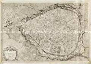
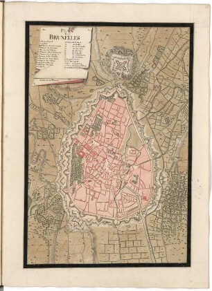
Plan-Routier De La Ville De Bruxelles : Divisé par Cantons ou Arrondissemens de justices de paix, Sections et Paroisses
- Location
-
Leibniz-Institut für Länderkunde e.V., Leipzig
- Other number(s)
-
HK 0322 (Signatur)
- Material/Technique
-
Verwaltungsgrenzen kolor.
- Inscription/Labeling
-
Maßstab in graph. Form (Verges de Brabant, Métres). - Titel oben links. - Mit. Erl. zu Sehenswürdigkeiten. - Nullmeridian: Paris. - Ohne Relief
- Subject (what)
-
Altkarte
Stadtplan
Belgien
Bruxelles (Brüssel)
- Event
-
Veröffentlichung
- (who)
-
Adolphe Stapleaux (Verlag)
- (where)
-
Bruxelles
- (when)
-
1817
- Rights
-
Leibniz-Institut für Länderkunde e.V.
- Last update
-
12.12.2024, 10:16 AM CET
Data provider
This object is provided by:
Leibniz-Institut für Länderkunde e. V.. If you have any questions about the object, please contact the data provider.
Leibniz-Institut für Länderkunde e. V.. If you have any questions about the object, please contact the data provider.
Object type
- Karte
Associated
- Adolphe Stapleaux (Verlag)
Time of origin
- 1817
Other Objects (12)
Plan routier de la Ville de Bruxelles
Plan routier de la ville de Paris divisé en douze arrondissemens

"Plan Routier de la Ville et Faubourg de Paris divisé en 12 Mairies"
Plan Routier de la Ville et Faubourg de Paris
Denkschriften, Schriftstücke zu Familie Routier de Bernapré
Nouveau Plan Routier de la Ville et Faubourgs de Paris
Banque de Bruxelles, Bruxelles
Banque De Bruxelles S.A., Bruxelles
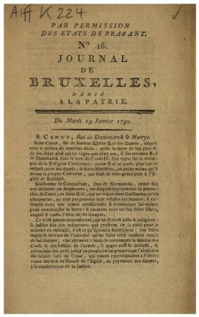
Journal de Bruxelles
Banque de Bruxelles
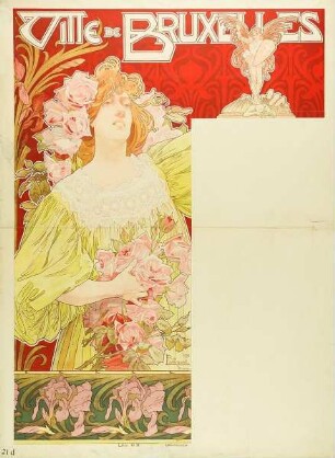
Ville de Bruxelles
Plan de Bruxelles
Plan routier de la Ville de Bruxelles
Plan routier de la ville de Paris divisé en douze arrondissemens
"Plan Routier de la Ville et Faubourg de Paris divisé en 12 Mairies"
Plan Routier de la Ville et Faubourg de Paris
Denkschriften, Schriftstücke zu Familie Routier de Bernapré
Nouveau Plan Routier de la Ville et Faubourgs de Paris
Banque de Bruxelles, Bruxelles
Banque De Bruxelles S.A., Bruxelles
Journal de Bruxelles
Banque de Bruxelles
Ville de Bruxelles