Regionalkarte
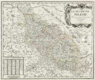
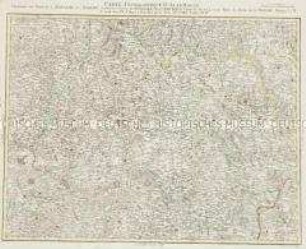
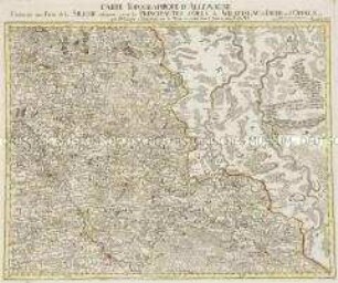
La Haute Et La Basse Silesie. Mit einem Stadtplan: La Ville Capitale de Breslau
- Alternative title
-
LA / HAUTE ET LA BASSE / SILESIE / DIVISÉE
- Location
-
Deutsches Historisches Museum, Berlin
- Inventory number
-
Do 2006/465
- Measurements
-
Höhe x Breite: 110 x 93,9 cm (Blatt)
Höhe x Breite: 83,6 x 71,6 cm (Karte)
Höhe x Breite: 86,5 x 75 cm (Platte)
- Material/Technique
-
Papier, Kupferstich, koloriert
- Classification
-
Kartografie (Gattung)
- Subject (what)
-
Schlesien
- Event
-
Herstellung
- (who)
-
Kartograf, Kupferstecher, Verleger: Tobias Konrad Lotter
- (where)
-
Augsburg, Deutschland
- (when)
-
um 1750
- Rights
-
Deutsches Historisches Museum
- Last update
-
24.03.2023, 9:29 AM CET
Data provider
This object is provided by:
Stiftung Deutsches Historisches Museum. If you have any questions about the object, please contact the data provider.
Stiftung Deutsches Historisches Museum. If you have any questions about the object, please contact the data provider.
Object type
- Regionalkarte
Associated
- Kartograf, Kupferstecher, Verleger: Tobias Konrad Lotter
Time of origin
- um 1750
Other Objects (12)
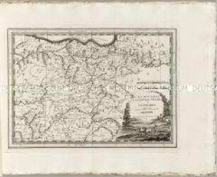
Le Duché De Silesie
Grand Atlas . Bl. 45 (Schlesien): Contenant la haute Silesie savoir les Principautés d'Oppeln, Ratibor, Troppau et Iaegerndorf, les Seigneuries de Plesen et de Beuten et une Partie du Margraviat de Moravie
Grand Atlas . Bl. 27 (Schlesien, Polen): Contenant une petit anglet de la Silesie et les Confins du Grand Pologne.
Grand Atlas . Bl. 54 (Mähren, Niederschlesien : Contenant une Partie du Margraviat de Moravie, savoir les Cercles d'Olmutz de Prerau et de Hradisch et les Principautés de la haute Silesie savoir Tropau et Teschen et et
Grand Atlas . Bl. 44 (Böhmen, Schlesien): Contenant une Partie de la Royaume du Boheme Scavoir les Cercles de Königgraetz, et Chrudim, le Comte de Glatz, et une Partie du Duchè de la Silesie
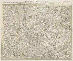
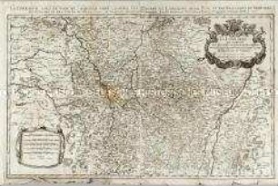
Grand Atlas . Bl. 35 (Oberlausitz, Schlesien...): Contenant une Partie de la Lusace Superieur, de la Silesie inferieure, savoir les Principautes de Glogau, de Iauer, de Liegnitz, de Wohlau, de Schweidnitz, de Wradislau et et
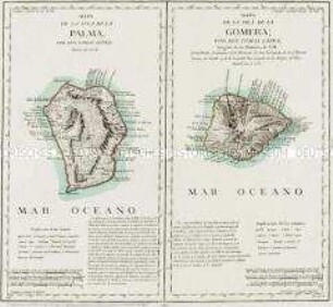
Mapa de la Isla de la Palma / Mapa de la Isla de la Gomera
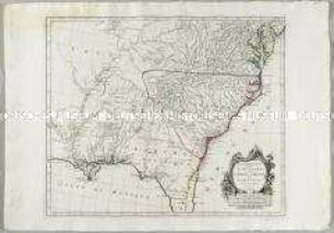
Partie Méridionale de la Louisiane, avec de la Floride, la Caroline et la Virginie
Grand Atlas . Bl. 36 (Niederschlesien...): Contenant une Partie de la Silesie inferieure savoir les Principautes d'Oels de Wratislau de Iauer et d'Oppeln et et
Nuovo Atlante Geografico Universale: La Biscaglia La Castilia Vecchia e La Navarra
La Lorraine

La Prusse
Le Duché De Silesie
Grand Atlas . Bl. 45 (Schlesien): Contenant la haute Silesie savoir les Principautés d'Oppeln, Ratibor, Troppau et Iaegerndorf, les Seigneuries de Plesen et de Beuten et une Partie du Margraviat de Moravie
Grand Atlas . Bl. 27 (Schlesien, Polen): Contenant une petit anglet de la Silesie et les Confins du Grand Pologne.
Grand Atlas . Bl. 54 (Mähren, Niederschlesien : Contenant une Partie du Margraviat de Moravie, savoir les Cercles d'Olmutz de Prerau et de Hradisch et les Principautés de la haute Silesie savoir Tropau et Teschen et et
Grand Atlas . Bl. 44 (Böhmen, Schlesien): Contenant une Partie de la Royaume du Boheme Scavoir les Cercles de Königgraetz, et Chrudim, le Comte de Glatz, et une Partie du Duchè de la Silesie
Grand Atlas . Bl. 35 (Oberlausitz, Schlesien...): Contenant une Partie de la Lusace Superieur, de la Silesie inferieure, savoir les Principautes de Glogau, de Iauer, de Liegnitz, de Wohlau, de Schweidnitz, de Wradislau et et
Mapa de la Isla de la Palma / Mapa de la Isla de la Gomera
Partie Méridionale de la Louisiane, avec de la Floride, la Caroline et la Virginie
Grand Atlas . Bl. 36 (Niederschlesien...): Contenant une Partie de la Silesie inferieure savoir les Principautes d'Oels de Wratislau de Iauer et d'Oppeln et et
Nuovo Atlante Geografico Universale: La Biscaglia La Castilia Vecchia e La Navarra
La Lorraine