- Alternative title
-
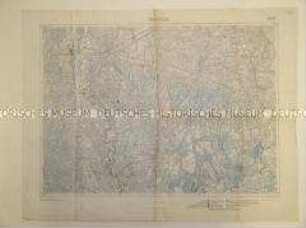
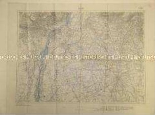
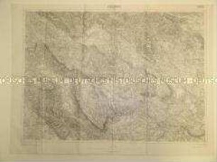
Afrika-Karte
- Location
-
Deutsches Historisches Museum, Berlin
- Inventory number
-
Do2 2008/117
- Measurements
-
Höhe x Breite: 66,6 x 60,8 cm
- Material/Technique
-
Papier, gedruckt
- Classification
-
Kartografie (Gattung)
- Subject (what)
-
Kolonialismus
Geographie
- Event
-
Herstellung
- (who)
-
Herausgeber: Oberkommando der Wehrmacht, Abt. Inland
- (where)
-
Deutschland [historisch: Deutsches Reich]
- (when)
-
zwischen 1940 und 1941
- Rights
-
Deutsches Historisches Museum
- Last update
-
24.03.2023, 9:29 AM CET
Data provider
This object is provided by:
Stiftung Deutsches Historisches Museum. If you have any questions about the object, please contact the data provider.
Stiftung Deutsches Historisches Museum. If you have any questions about the object, please contact the data provider.
Object type
- Politisch-geografische Karte
Associated
- Herausgeber: Oberkommando der Wehrmacht, Abt. Inland
Time of origin
- zwischen 1940 und 1941
Other Objects (12)
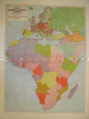
Politisch-geografische Karte von Europa und Afrika
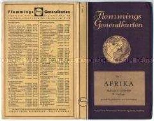
Geografische Karte von Afrika - Nachlass
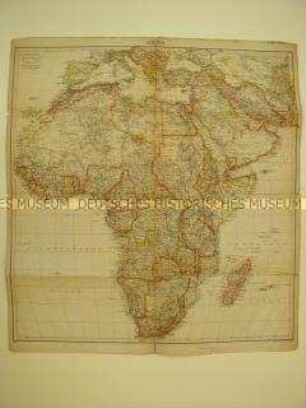
Politisch-geografische Karte von Afrika (Tornisterschrift des Oberkommandos der Wehrmacht)
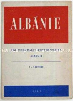
Politisch-geografische Karte von Albanien
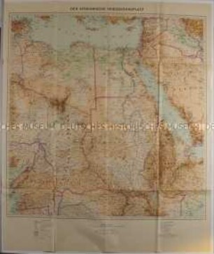
Politisch-geografische Karte von Afrika aus der Zeit des 2. Weltkrieges

Politisch-geografische Karte des Mittelmeerraumes
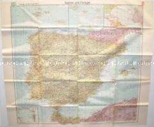
Politisch-geografische Karte von Spanien und Portugal
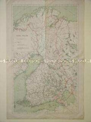
Geografische Karte von Finnland
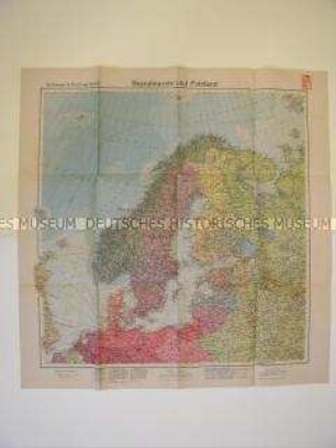
Geografische Karte von Nordeuropa
Politisch-geografische Karte eines Gebietes in Italien
Politisch-geografische Karte des Gebietes um Udine
Politisch-geografische Karte eines Gebietes in Slowenien
Politisch-geografische Karte von Europa und Afrika
Geografische Karte von Afrika - Nachlass
Politisch-geografische Karte von Afrika (Tornisterschrift des Oberkommandos der Wehrmacht)
Politisch-geografische Karte von Albanien
Politisch-geografische Karte von Afrika aus der Zeit des 2. Weltkrieges
Politisch-geografische Karte des Mittelmeerraumes
Politisch-geografische Karte von Spanien und Portugal
Geografische Karte von Finnland
Geografische Karte von Nordeuropa
Politisch-geografische Karte eines Gebietes in Italien
Politisch-geografische Karte des Gebietes um Udine