- Alternativer Titel
-
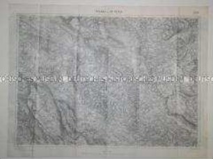
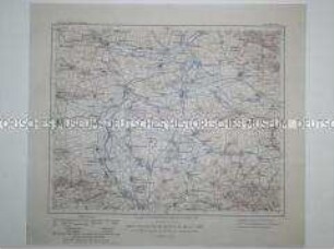
Strassoldo
- Standort
-
Deutsches Historisches Museum, Berlin
- Inventarnummer
-
DG 90/5249
- Maße
-
Höhe x Breite: 47,2 x 61,2 cm
- Material/Technik
-
Papier, gedruckt
- Klassifikation
-
Karten, Pläne, Risse (Gattung)
- Bezug (was)
-
Geographie
- Ereignis
-
Herstellung
- (wer)
-
Herausgeber: K.u.K. Militärgeographisches Institut
- (wo)
-
Österreich
- (wann)
-
06.1916
- Rechteinformation
-
Deutsches Historisches Museum
- Letzte Aktualisierung
- 24.03.2023, 09:28 MEZ
Datenpartner
Dieses Objekt wird bereitgestellt von:
Stiftung Deutsches Historisches Museum. Bei Fragen zum Objekt wenden Sie sich bitte an den Datenpartner.
Stiftung Deutsches Historisches Museum. Bei Fragen zum Objekt wenden Sie sich bitte an den Datenpartner.
Objekttyp
- Geografische Karte
Beteiligte
- Herausgeber: K.u.K. Militärgeographisches Institut
Entstanden
- 06.1916
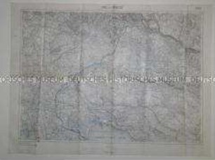
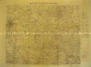
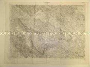
Ähnliche Objekte (12)
Geografische Karte eines Gebietes in Serbien
Geografische Karte eines Gebietes in Serbien
Geografische Karte des Gebietes südöstlich von Leipzig
Politisch-geografische Karte eines Gebietes in Slowenien
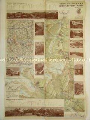
Geografische Karte des Gebietes der Großglockner Hochalpenstraße
Geografische Karte des Gebietes um Sömmerda (Thüringen)
Politisch-geografische Karte des Gebietes um Udine

Geografische Karte des Gebietes um Amiens und Chauny
Politisch-geografische Karte eines Gebietes in West-Rußland

Politisch-geografische Karte eines Gebietes in West-Rußland
Geografische Karte des Saarlandes
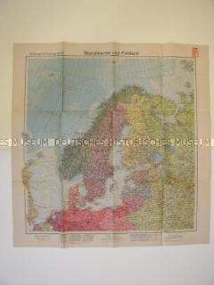
Geografische Karte von Nordeuropa
Geografische Karte eines Gebietes in Serbien
Geografische Karte eines Gebietes in Serbien
Geografische Karte des Gebietes südöstlich von Leipzig
Politisch-geografische Karte eines Gebietes in Slowenien
Geografische Karte des Gebietes der Großglockner Hochalpenstraße
Geografische Karte des Gebietes um Sömmerda (Thüringen)
Politisch-geografische Karte des Gebietes um Udine
Geografische Karte des Gebietes um Amiens und Chauny
Politisch-geografische Karte eines Gebietes in West-Rußland
Politisch-geografische Karte eines Gebietes in West-Rußland
Geografische Karte des Saarlandes