- Alternative title
-
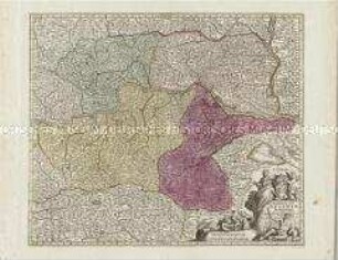
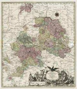
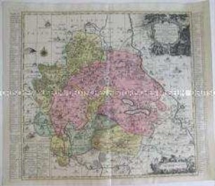
ELECTORATUS / sive / MARCHIA BRANDENBURGENSIS / juxta novissimam Delineationem
- Location
-
Deutsches Historisches Museum, Berlin
- Inventory number
-
Do 2006/503
- Measurements
-
Höhe x Breite: 56 x 66,6 cm (Blatt)
Höhe x Breite: 47,7 x 54,2 cm (Karte)
Höhe x Breite: 50 x 56,5 cm (Platte)
- Material/Technique
-
Druckfarbe, Papier, Kupferstich, koloriert
- Classification
-
Kartografie (Gattung)
- Subject (what)
-
Brandenburg
- Event
-
Herstellung
- (who)
-
Stecher, Kartograf, Verleger: Matthäus Seutter
- (where)
-
Augsburg, Deutschland
- (when)
-
um 1750
- Rights
-
Deutsches Historisches Museum
- Last update
-
24.03.2023, 9:30 AM CET
Data provider
This object is provided by:
Stiftung Deutsches Historisches Museum. If you have any questions about the object, please contact the data provider.
Stiftung Deutsches Historisches Museum. If you have any questions about the object, please contact the data provider.
Object type
- Regionalkarte
Associated
- Stecher, Kartograf, Verleger: Matthäus Seutter
Time of origin
- um 1750
Other Objects (12)
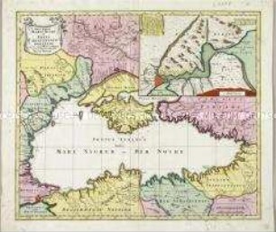
Nova Mappa Maris Nigri et Freti Constantinopolitani. Mit einer Nebenkarte
Archiducatus Austriae Inferioris accuratissima tabula
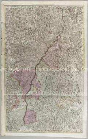
Cursus Rheni infra Argentoratum usq ad Wormatiam
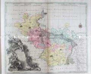
Electoratus sive Marchia Brandenburgensis, juxta novissimam Delineationem in mappa Geographica
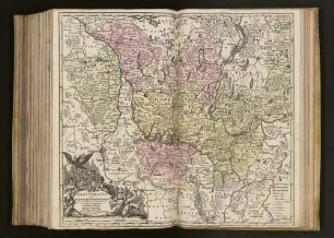
Tabulae Principatus Brandenburgico-Culmbacensis sive Baruthini
Karte von Merseburg
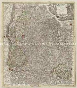
Accurata delineatio Brisgoviae
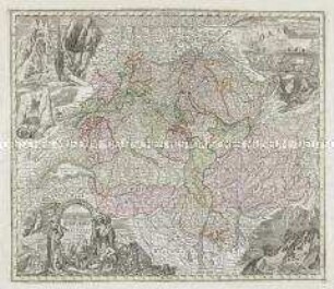
Nova Totius Helvetiae. Mit acht Ansichten
Karte von Mansfeld...,
Alsatia superior et inferior
Karte von Delitzsch, Bitterfeld, Zoerbig
Landgraviatus Thuringiae
Nova Mappa Maris Nigri et Freti Constantinopolitani. Mit einer Nebenkarte
Archiducatus Austriae Inferioris accuratissima tabula
Cursus Rheni infra Argentoratum usq ad Wormatiam
Electoratus sive Marchia Brandenburgensis, juxta novissimam Delineationem in mappa Geographica
Tabulae Principatus Brandenburgico-Culmbacensis sive Baruthini
Karte von Merseburg
Accurata delineatio Brisgoviae
Nova Totius Helvetiae. Mit acht Ansichten
Karte von Mansfeld...,
Alsatia superior et inferior
Karte von Delitzsch, Bitterfeld, Zoerbig