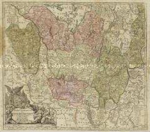
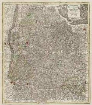
- Alternativer Titel
-
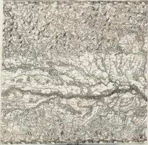
ARCHIDUCATUS / AUSTRIAE / INFERIORIS / accuratissima tabula
- Standort
-
Deutsches Historisches Museum, Berlin
- Inventarnummer
-
Do 2006/1136
- Maße
-
Höhe x Breite: 58 x 71 cm (Blatt)
Höhe x Breite: 47 x 56 cm (Karte)
Höhe x Breite: 49,5 x 58,5 cm (Platte)
- Material/Technik
-
Papier, Kupferstich, koloriert
- Klassifikation
-
Kartografie (Gattung)
- Bezug (was)
-
Niederösterreich
Österreich
- Ereignis
-
Herstellung
- (wer)
-
Stecher, Geograph, Kartograf, Verleger: Matthäus Seutter
- (wo)
-
Augsburg, Deutschland
- (wann)
-
um 1750
- Rechteinformation
-
Deutsches Historisches Museum
- Letzte Aktualisierung
-
24.03.2023, 09:30 MEZ
Datenpartner
Dieses Objekt wird bereitgestellt von:
Stiftung Deutsches Historisches Museum. Bei Fragen zum Objekt wenden Sie sich bitte an den Datenpartner.
Stiftung Deutsches Historisches Museum. Bei Fragen zum Objekt wenden Sie sich bitte an den Datenpartner.
Objekttyp
- Regionalkarte
Beteiligte
- Stecher, Geograph, Kartograf, Verleger: Matthäus Seutter
Entstanden
- um 1750
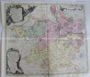
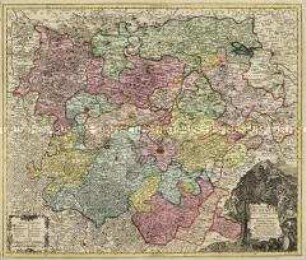
Ähnliche Objekte (12)
Electoratus sive Marchia Brandenburgensis
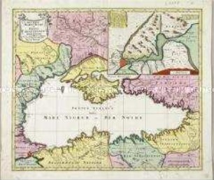
Nova Mappa Maris Nigri et Freti Constantinopolitani. Mit einer Nebenkarte
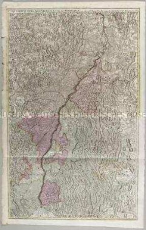
Cursus Rheni infra Argentoratum usq ad Wormatiam
Tabulae Principatus Brandenburgico-Culmbacensis sive Baruthini
Accurata delineatio Brisgoviae
Karte von Merseburg
Karte von Mansfeld...,
Nova Totius Helvetiae. Mit acht Ansichten
Alsatia superior et inferior
Karte von Delitzsch, Bitterfeld, Zoerbig
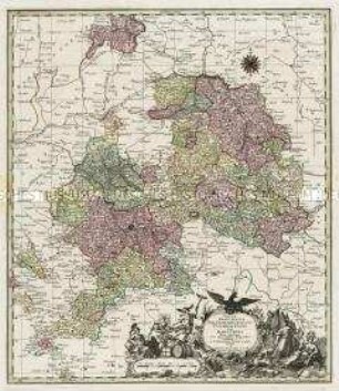
Landgraviatus Thuringiae
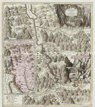
Pagus Helvetiae Uriensis Cum subditis suis in Valle Lepontina. Mit einer Nebenkarte: Vallis Lepontina; und einer Ansicht: Teufels-Bruck
Electoratus sive Marchia Brandenburgensis
Nova Mappa Maris Nigri et Freti Constantinopolitani. Mit einer Nebenkarte
Cursus Rheni infra Argentoratum usq ad Wormatiam
Tabulae Principatus Brandenburgico-Culmbacensis sive Baruthini
Accurata delineatio Brisgoviae
Karte von Merseburg
Karte von Mansfeld...,
Nova Totius Helvetiae. Mit acht Ansichten
Alsatia superior et inferior
Karte von Delitzsch, Bitterfeld, Zoerbig
Landgraviatus Thuringiae