- Location
-
München, Bayerische Staatsbibliothek -- Mapp. XI,588 i-1
- Dimensions
-
Gesamtgr. 132 x 102 cm, gebunden
- Extent
-
1 Kt. auf 2 Bl.
- Language
-
Deutsch
- Notes
-
mehrfarb.
Mit 1 Nebenkt.: Die Landesteilungen. - Erl. dazu erschienen u. d. Titel: Die territoriale Entwicklung Bayerns
- Keyword
-
Geschichte 1255
Karte
Bayern
- Event
-
Veröffentlichung
- (where)
-
Speyer
- (who)
-
Jäger
- (when)
-
[1897]
- Contributor
-
Wolf, Karl
- URN
-
urn:nbn:de:bvb:12-bsb00090751-5
- Last update
-
16.04.2025, 8:35 AM CEST
Data provider
This object is provided by:
Bayerische Staatsbibliothek. If you have any questions about the object, please contact the data provider.
Bayerische Staatsbibliothek. If you have any questions about the object, please contact the data provider.
Associated
- Wolf, Karl
- Jäger
Time of origin
- [1897]
Other Objects (12)
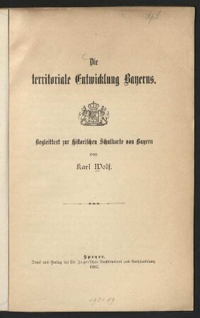
Die territoriale Entwicklung Bayerns : Begleittext zur Historischen Schulkarte von Bayern
Die territoriale Entwicklung Bayerns : Begleittext zur historischen Schulkarte von Bayern
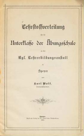
Lehrstoffverteilung für die Unter-Klasse der Übungsschule an der Kgl. Lehrerbildungsanstalt in Speyer : von Karl Wolf

Abgangszeugnis Karl Wolf
Abgangszeugnis Karl Wolf
Wolf, Karl, Auto-Lichtdienst, Göppingen
Wolf, Karl, Zigarrengrosshandlung, Heidelberg-Rohrbach
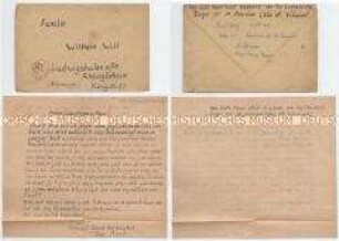
Handgeschriebener Brief eines Gefreiten der Wehrmacht aus der Frankreich an seine Familie, mit Kuvert
75: Graf Johann der Ältere von Nassau-Dillenburg ud sein Rat Otto von Grünrade
73: Graf Johann der Mittlere von Nassau-Siegen und der kurpfälzische Krieg (1619-1621)
68: Der Straßburger Kapitelstreit (1584-1604) und der Wetterauer Grafenverein

69: Die Dillenburger Grafen als Sekundanten der Hohenzollern im Jülich'schen Erbfolgestreit um 1600
Die territoriale Entwicklung Bayerns : Begleittext zur Historischen Schulkarte von Bayern
Die territoriale Entwicklung Bayerns : Begleittext zur historischen Schulkarte von Bayern
Lehrstoffverteilung für die Unter-Klasse der Übungsschule an der Kgl. Lehrerbildungsanstalt in Speyer : von Karl Wolf
Abgangszeugnis Karl Wolf
Abgangszeugnis Karl Wolf
Wolf, Karl, Auto-Lichtdienst, Göppingen
Wolf, Karl, Zigarrengrosshandlung, Heidelberg-Rohrbach
Handgeschriebener Brief eines Gefreiten der Wehrmacht aus der Frankreich an seine Familie, mit Kuvert
75: Graf Johann der Ältere von Nassau-Dillenburg ud sein Rat Otto von Grünrade
73: Graf Johann der Mittlere von Nassau-Siegen und der kurpfälzische Krieg (1619-1621)
68: Der Straßburger Kapitelstreit (1584-1604) und der Wetterauer Grafenverein