- Standort
-
München, Bayerische Staatsbibliothek -- Hbks/X 8 f-11#Plate 4
- Maße
-
20 x 18 cm
- Umfang
-
1 Kt.
- Sprache
-
Englisch
- Anmerkungen
-
Lithographie
Maßstab in graph. Form (Stat. Miles). - Kartenbeilage " Lt. Warrens memoir plate IV" zu: Reports of explorations and surveys to ascertain the most practicable and economical route for a railroad from the Missisippi River to the Pacific Ocean/11. 1853/56 (1861)
- Schlagwort
-
Kalifornien
USA
- Ereignis
-
Veröffentlichung
- (wo)
-
[Washington D.C.]
- (wann)
-
[1861]
- Beteiligte Personen und Organisationen
- URN
-
urn:nbn:de:bvb:12-bsb00092101-7
- Letzte Aktualisierung
-
16.04.2025, 08:38 MESZ
Datenpartner
Dieses Objekt wird bereitgestellt von:
Bayerische Staatsbibliothek. Bei Fragen zum Objekt wenden Sie sich bitte an den Datenpartner.
Bayerische Staatsbibliothek. Bei Fragen zum Objekt wenden Sie sich bitte an den Datenpartner.
Objekttyp
- Karte
Beteiligte
Entstanden
- [1861]
Ähnliche Objekte (12)

Map of the Territory West of the Rocky Mountains
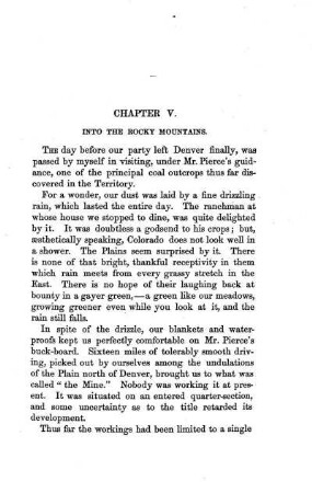
INTO THE ROCKY MOUNTAINS
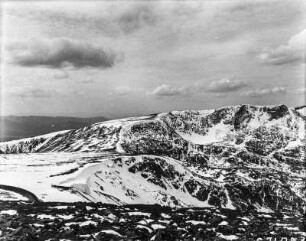
Rocky Mountains : Gebirgslandschaft der Rocky Mountains.
Rocky Mountains : Gebirgslandschaft der Rocky Mountains.
Rocky Mountains : Gebirgslandschaft der Rocky Mountains.
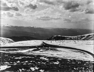
Rocky Mountains : Gebirgslandschaft der Rocky Mountains.
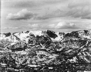
Rocky Mountains : Gebirgslandschaft der Rocky Mountains.

Rocky Mountains
Rocky Mountains
Rocky Mountains
Rocky Mountains
Rocky Mountains
Map of the Territory West of the Rocky Mountains
INTO THE ROCKY MOUNTAINS
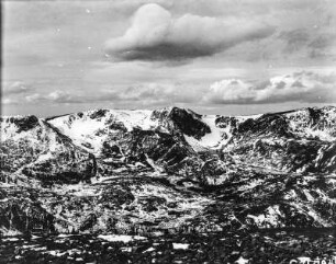
Rocky Mountains : Gebirgslandschaft der Rocky Mountains.
Rocky Mountains : Gebirgslandschaft der Rocky Mountains.
Rocky Mountains : Gebirgslandschaft der Rocky Mountains.
Rocky Mountains : Gebirgslandschaft der Rocky Mountains.
Rocky Mountains : Gebirgslandschaft der Rocky Mountains.
Rocky Mountains
Rocky Mountains
Rocky Mountains
Rocky Mountains
Rocky Mountains
Map of the Territory West of the Rocky Mountains
INTO THE ROCKY MOUNTAINS
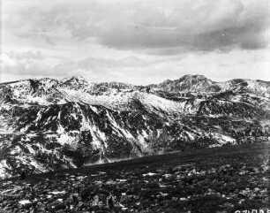
Rocky Mountains : Gebirgslandschaft der Rocky Mountains.
Rocky Mountains : Gebirgslandschaft der Rocky Mountains.
Rocky Mountains : Gebirgslandschaft der Rocky Mountains.
Rocky Mountains : Gebirgslandschaft der Rocky Mountains.
Rocky Mountains : Gebirgslandschaft der Rocky Mountains.
Rocky Mountains
Rocky Mountains
Rocky Mountains
Rocky Mountains