- Alternative title
-
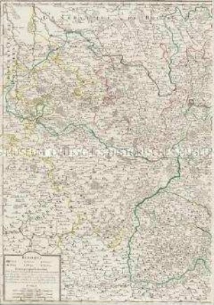
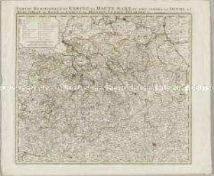
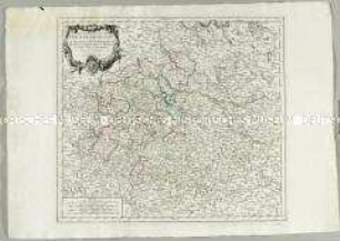
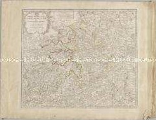
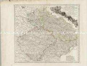
CARTE DES CERCLES / DU HAUT ET DU BAS RHIN / où se trouvent, dans le premier, / le Duché de Deux-Ponts, les Evêchés de Worms
- Location
-
Deutsches Historisches Museum, Berlin
- Inventory number
-
Do 2006/863
- Measurements
-
Höhe x Breite: 54,5 x 77,5 cm (Blatt)
Höhe x Breite: 45,7 x 47,7 cm (Karte)
Höhe x Breite: 48,8 x 53 cm (Platte)
- Material/Technique
-
Papier, Kupferstich, grenzkoloriert
- Classification
-
Kartografie (Gattung)
- Subject (what)
-
Kurrheinischer Reichskreis
Oberrheinischer Reichskreis
Niederrheinisch-Westfälischer Reichskreis
- Event
-
Herstellung
- (who)
-
Kartograf, Geograph: Didier Robert de Vaugondy
Stecher, Kartograf: Paolo Santini
Kartograf, Verleger: Giuseppe Antonio Remondini
- (where)
-
Venedig, Italien
- (when)
-
um 1777
- Rights
-
Deutsches Historisches Museum
- Last update
-
18.08.2023, 4:45 AM CEST
Data provider
This object is provided by:
Stiftung Deutsches Historisches Museum. If you have any questions about the object, please contact the data provider.
Stiftung Deutsches Historisches Museum. If you have any questions about the object, please contact the data provider.
Object type
- Kreiskarte
Associated
- Kartograf, Geograph: Didier Robert de Vaugondy
- Stecher, Kartograf: Paolo Santini
- Kartograf, Verleger: Giuseppe Antonio Remondini
Time of origin
- um 1777
Other Objects (12)
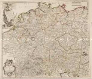
L'Allemagne divisée en ses cercles
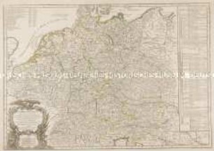
L'Empire d'Allemagne divisé en ses dix Cercles
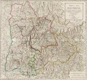
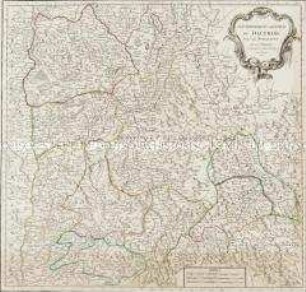
Haut et Bas Dauphiné
Gouvernement General du Lyonnois
Gouvernement Général du Dauphiné
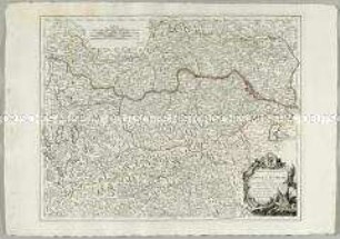
Partie Septentrionale du Cercle d'Autriche
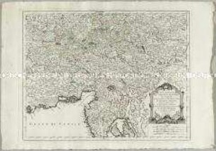
Partie Méridionale du Cercle d'Autriche
Partie Méridionale du Cercle de Haute Saxe
Carte du Duché et Electorat de Bavière
Partie Meridionale du Cercle de Haute Saxe
Partie Meridionale du Cercle de Haute Saxe
Carte Generale du Royaume de Boheme du Duché de Silesie et des Marquisats de Moravie et de Lusace
L'Allemagne divisée en ses cercles
L'Empire d'Allemagne divisé en ses dix Cercles
Haut et Bas Dauphiné
Gouvernement General du Lyonnois
Gouvernement Général du Dauphiné
Partie Septentrionale du Cercle d'Autriche
Partie Méridionale du Cercle d'Autriche
Partie Méridionale du Cercle de Haute Saxe
Carte du Duché et Electorat de Bavière
Partie Meridionale du Cercle de Haute Saxe
Partie Meridionale du Cercle de Haute Saxe