Grafik | Landkarte
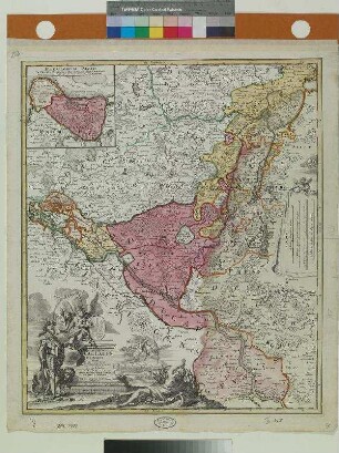
Iuliae et cliviae ducatum novus ac versus typus geographicus
Kupferstichkarte des Niederrheins
- Collection
-
Pictothek
- Identifier
-
36/G.f.m.9,3,70b
- Source
-
Universitätsbibliothek Würzburg
- Extent
-
285 mm x 420 mm
- Language
-
Latein
- URN
-
urn:nbn:de:bvb:20-36gfm9370bterm104812793-8
- Last update
-
06.03.2025, 3:26 PM CET
Data provider
This object is provided by:
Universitätsbibliothek Würzburg. If you have any questions about the object, please contact the data provider.
Universitätsbibliothek Würzburg. If you have any questions about the object, please contact the data provider.
Object type
- Grafik
- Landkarte
Associated
Time of origin
- 1587
Other Objects (12)
![Iuliae & Cliviae Ducatum Novus Ac Verus Typus Geographicus : [Gewidmet] Ioanni Quado Theodorici Wicradiensis](https://iiif.deutsche-digitale-bibliothek.de/image/2/37005e3f-bc96-4ec5-8a16-4be64478aaba/full/!306,450/0/default.jpg)
Iuliae & Cliviae Ducatum Novus Ac Verus Typus Geographicus : [Gewidmet] Ioanni Quado Theodorici Wicradiensis
Typus Geographicus Ducat. Lauenburgici Novus
![Juliae et Cliviae ducatuum nov[us] ac verus typus geographicus [Htm. Jülich, Kleve]](/assets/placeholder/searchResultMediaNoDigitisedMedia.png)
Juliae et Cliviae ducatuum nov[us] ac verus typus geographicus [Htm. Jülich, Kleve]
Julia & clivia Ducatum NouAC verus Typus geographicus
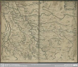
Iuliae, Cliviae Montis, Marcae Tabula
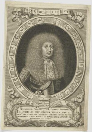
Bildnis des Fridericus Dux Saxoniae, Iuliae Cliviae
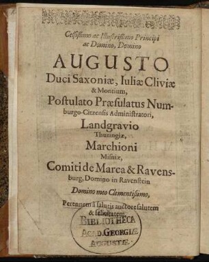
Celsißimo ... Domino Augusto Duci Saxoniae, Iuliae Cliviae & Montium ...
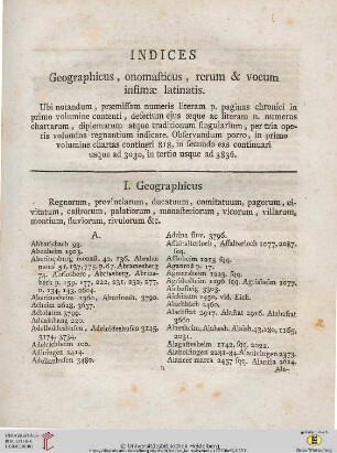
I. Geographicus
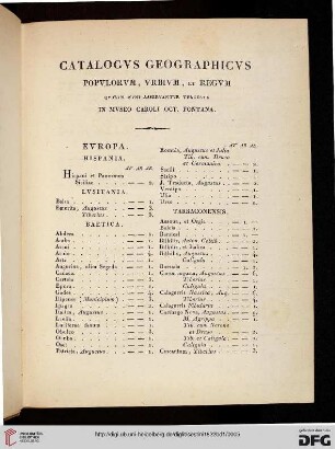
Catalogus geographicus
Index geographicus
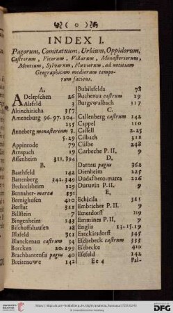
Index Geographicus.
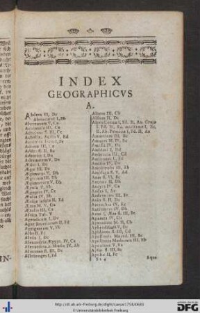
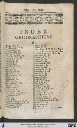
Index Geographicus.
Iuliae & Cliviae Ducatum Novus Ac Verus Typus Geographicus : [Gewidmet] Ioanni Quado Theodorici Wicradiensis
Typus Geographicus Ducat. Lauenburgici Novus
Juliae et Cliviae ducatuum nov[us] ac verus typus geographicus [Htm. Jülich, Kleve]
Julia & clivia Ducatum NouAC verus Typus geographicus
Iuliae, Cliviae Montis, Marcae Tabula
Bildnis des Fridericus Dux Saxoniae, Iuliae Cliviae
Celsißimo ... Domino Augusto Duci Saxoniae, Iuliae Cliviae & Montium ...
I. Geographicus
Catalogus geographicus
Index geographicus
Index Geographicus.
Index Geographicus.
Iuliae & Cliviae Ducatum Novus Ac Verus Typus Geographicus : [Gewidmet] Ioanni Quado Theodorici Wicradiensis
Typus Geographicus Ducat. Lauenburgici Novus
Juliae et Cliviae ducatuum nov[us] ac verus typus geographicus [Htm. Jülich, Kleve]
Julia & clivia Ducatum NouAC verus Typus geographicus
Iuliae, Cliviae Montis, Marcae Tabula
Bildnis des Fridericus Dux Saxoniae, Iuliae Cliviae
Celsißimo ... Domino Augusto Duci Saxoniae, Iuliae Cliviae & Montium ...
I. Geographicus
Catalogus geographicus
Index geographicus
Index Geographicus.