- Alternative title
-
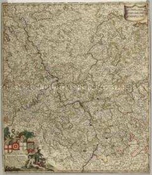
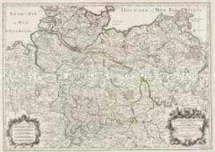
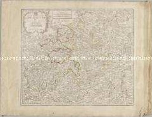
CERCLE MÉRIDIONAL / DE LA HAUTE SAXE / Comprenant / LE DUCHÉ et ELÉCTORAT
- Location
-
Deutsches Historisches Museum, Berlin
- Inventory number
-
Do 2006/571
- Measurements
-
Höhe x Breite: 57,7 x 79,5 cm (Blatt)
Höhe x Breite: 47,4 x 65,5 cm (Karte)
Höhe x Breite: 49,7 x 67,6 cm (Platte)
- Material/Technique
-
Papier, Kupferstich, grenzkoloriert
- Classification
-
Kartografie (Gattung)
- Subject (what)
-
Obersächsischer Reichskreis
Sachsen
Thüringen
Sachsen-Anhalt
- Event
-
Herstellung
- (who)
-
Verleger, Stecher, Kartograf: Frederick de Wit
Geograph, Stecher, Verleger: Jean-Baptiste Crépy
- (where)
-
Niederlande ? Frankreich
- (when)
-
1779
- Rights
-
Deutsches Historisches Museum
- Last update
-
24.03.2023, 9:31 AM CET
Data provider
This object is provided by:
Stiftung Deutsches Historisches Museum. If you have any questions about the object, please contact the data provider.
Stiftung Deutsches Historisches Museum. If you have any questions about the object, please contact the data provider.
Object type
- Kreiskarte
Associated
- Verleger, Stecher, Kartograf: Frederick de Wit
- Geograph, Stecher, Verleger: Jean-Baptiste Crépy
Time of origin
- 1779
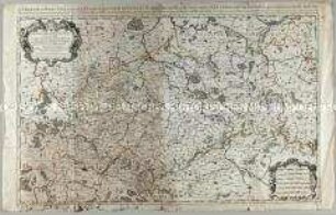
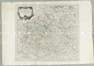
Other Objects (12)
Circulus Electorum Rheni sive Rhenanus Inferior
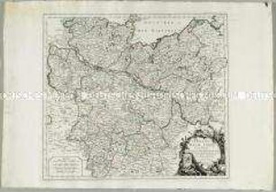
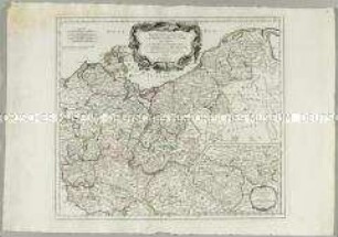
Cercle de Basse Saxe
Le Cercle De Basse Saxe
Le Cercle de la Basse Saxe
Le Cercle De La Basse Saxe
Le Cercle de la Haute Saxe
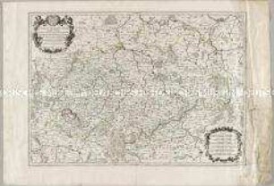
Le Cercle de la Haute Saxe
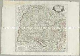
Partie Meridionale du Cercle de Haute Saxe
Partie Meridionale du Cercle de Haute Saxe
Partie Méridionale du Cercle de Haute Saxe
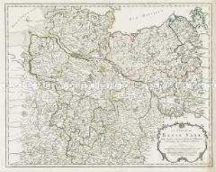
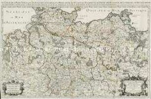
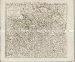
Partie Septentrionale du Cercle de Haute Saxe. Mit einer Nebenkarte: Supplément pour le Marquisat de Brandebourg
Cercle de Souabe
Circulus Electorum Rheni sive Rhenanus Inferior
Cercle de Basse Saxe
Le Cercle De Basse Saxe
Le Cercle de la Basse Saxe
Le Cercle De La Basse Saxe
Le Cercle de la Haute Saxe
Le Cercle de la Haute Saxe
Partie Meridionale du Cercle de Haute Saxe
Partie Meridionale du Cercle de Haute Saxe
Partie Méridionale du Cercle de Haute Saxe
Partie Septentrionale du Cercle de Haute Saxe. Mit einer Nebenkarte: Supplément pour le Marquisat de Brandebourg