Altkarte | Stadtplan
Plan" i drevnich" ukrěplenij v" g.g. Starodubě, Perejaslavlě, Sěvskě i Taganrogě
- Location
-
München, Bayerische Staatsbibliothek -- Hbks/F 116 y#Bl.22
- Dimensions
-
Blattgr. 52 x 41 cm
- Extent
-
4 Kt. auf 1 Bl.
- Language
-
Russisch
- Notes
-
Lithographie
Maßstab in graph. Form (Sažen). - In kyrill. Schrift
- Bibliographic citation
-
Atlas'' k'' materialam' dlja statistiki rossijskoj imperii ; [Plan] XXII
- Keyword
-
Befestigung
Starodub
Taganrog
Sevsk
Perejaslaw
- Event
-
Veröffentlichung
- (when)
-
1839
- Contributor
-
Seleznev, I.
- URN
-
urn:nbn:de:bvb:12-bsb00096680-1
- Last update
-
16.04.2025, 8:43 AM CEST
Data provider
This object is provided by:
Bayerische Staatsbibliothek. If you have any questions about the object, please contact the data provider.
Bayerische Staatsbibliothek. If you have any questions about the object, please contact the data provider.
Object type
- Altkarte
- Stadtplan
Associated
- Seleznev, I.
Time of origin
- 1839
Other Objects (12)
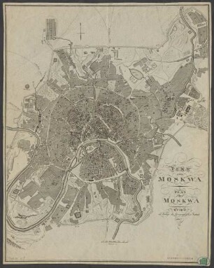
Plan Von Moskwa : = Plan de Moskwa
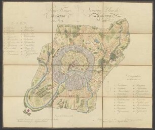
Novyj plan Moskvy
Plan De Modene
Plan De Vicense
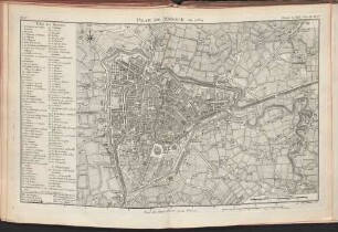
Plan De Padoue
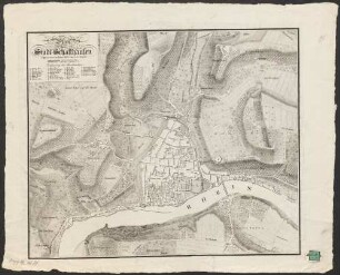
Plan der Stadt Schaffhausen
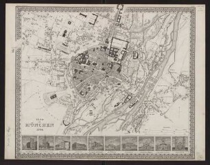
Plan von München 1844
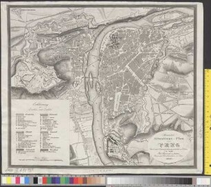
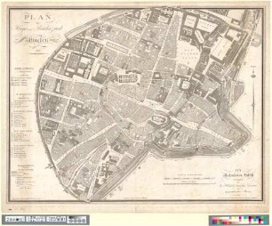
Neuester Situations-Plan von Prag
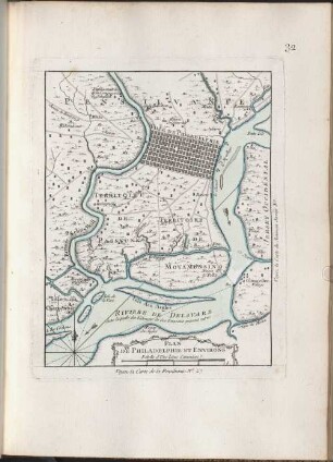
Plan De Philadelphie Et Environs
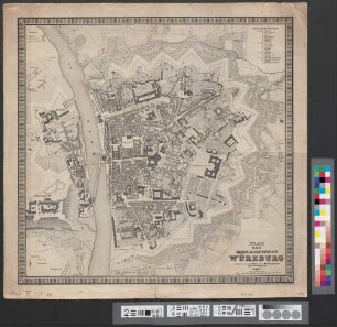
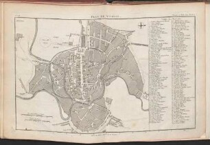
Plan Der Kreis-Hauptstadt Würzburg
Plan der Haupt und Residenzstadt München
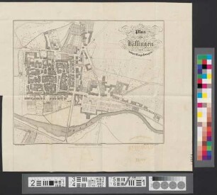
Plan von Kissingen und seinen Umgebungen
Plan Von Moskwa : = Plan de Moskwa
Novyj plan Moskvy
Plan De Modene
Plan De Vicense
Plan De Padoue
Plan der Stadt Schaffhausen
Plan von München 1844
Neuester Situations-Plan von Prag
Plan De Philadelphie Et Environs
Plan Der Kreis-Hauptstadt Würzburg
Plan der Haupt und Residenzstadt München