- Alternative title
-
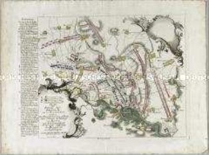
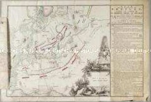
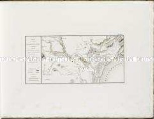
PLAN / der Attaquen bey / Hagenau / und Reichshofen &c.
- Location
-
Deutsches Historisches Museum, Berlin
- Inventory number
-
Do 2006/745
- Measurements
-
Höhe x Breite: 48 x 42 cm (Blatt)
Höhe x Breite: 35,4 x 31,5 cm (Karte)
Höhe x Breite: 45,2 x 37 cm (Platte)
- Material/Technique
-
Papier, koloriert, Kupferstich
- Classification
-
Kartografie (Gattung)
- Subject (what)
-
Reichshoffen
Frankreich
- Event
-
Herstellung
- (who)
-
Stecher, Verleger: ? Berndt
- (where)
-
Frankfurt, Deutschland
- (when)
-
um 1794
- Rights
-
Deutsches Historisches Museum
- Last update
-
24.03.2023, 9:27 AM CET
Data provider
This object is provided by:
Stiftung Deutsches Historisches Museum. If you have any questions about the object, please contact the data provider.
Stiftung Deutsches Historisches Museum. If you have any questions about the object, please contact the data provider.
Object type
- Schlachtenkarte
Associated
- Stecher, Verleger: ? Berndt
Time of origin
- um 1794
Other Objects (12)
Plan der Bataille bey Breslau
Plan der Schlacht bey La belle Alliance am 18ten Juni 1815
Plan de Gibraltar
Plan de Aguenau
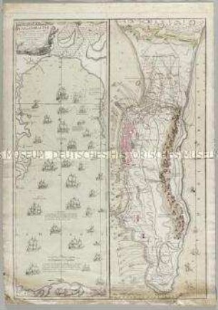
Plan de Gibraltar
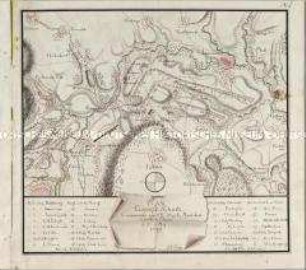
Plan du Camp de Schurtz
Plan de la Bataille de Breslau
Schlachtenkarte: Plan der Aktion bei Cofeld

Plan de la Bataille d'Abukir
Plan des Environs de Castillon de Ampurias
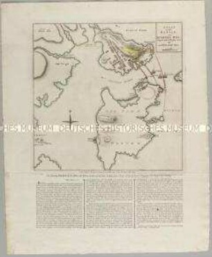
A Plan of the Battle, on Bunkers Hill
A plan of the military operations against Charlestown
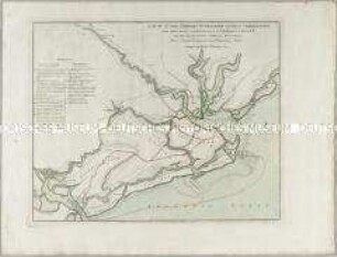
Plan der Bataille bey Breslau
Plan der Schlacht bey La belle Alliance am 18ten Juni 1815
Plan de Gibraltar
Plan de Aguenau
Plan de Gibraltar
Plan du Camp de Schurtz
Plan de la Bataille de Breslau
Schlachtenkarte: Plan der Aktion bei Cofeld
Plan de la Bataille d'Abukir
Plan des Environs de Castillon de Ampurias
A Plan of the Battle, on Bunkers Hill
A plan of the military operations against Charlestown
Plan der Bataille bey Breslau
Plan der Schlacht bey La belle Alliance am 18ten Juni 1815
Plan de Gibraltar
Plan de Aguenau
Plan de Gibraltar
Plan du Camp de Schurtz
Plan de la Bataille de Breslau
Schlachtenkarte: Plan der Aktion bei Cofeld
Plan de la Bataille d'Abukir
Plan des Environs de Castillon de Ampurias
A Plan of the Battle, on Bunkers Hill