Karte
Map of British Trade Routes across the Pacific and Indian Oceans, with the Coaling Stations, British and Foreign.

- Bibliographic citation
-
Proceedings of the Royal Colonial Institute ; 22.1890/91(1891)
- Published
-
1891
- Last update
-
09.04.2025, 1:27 PM CEST
Data provider
This object is provided by:
Staats- und Universitätsbibliothek Hamburg Carl von Ossietzky. If you have any questions about the object, please contact the data provider.
Staats- und Universitätsbibliothek Hamburg Carl von Ossietzky. If you have any questions about the object, please contact the data provider.
Object type
- Karte
Time of origin
- 1891
Other Objects (12)

British Policy in the Pacific.
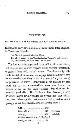
THE ROUTES TO VANCOUVER ISLAND AND BRITISH COLUMBIA
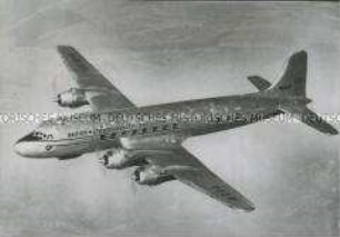
Fliegende "Douglas DC 6" der British Commonwealth Pacific Airlines
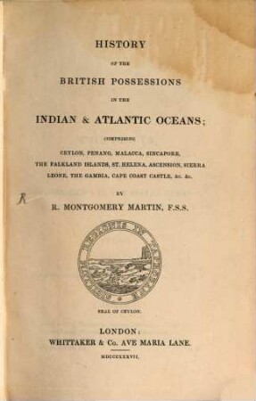
The British Colonial Library : In 12 volumes, 10. History of the British Possessions in the Indian and Atlantic Oceans. - 1837

Canoe routes, British Columbia, 2. Aufl., Vancouver 1980: Douglas & McIntyre

Schlafende Passagiere bei einem Transpazifikflug der British Commonwealth Pacific Airlines
Tsunami and its hazards in the Indian and Pacific oceans
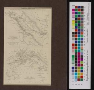
Central America shewing the proposed junctions of Atlantic & Pacific Oceans
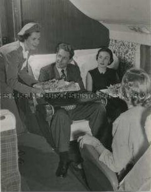
Bei einem Transpazifikflug der British Commonwealth Pacific Airlines werden Speisen serviert
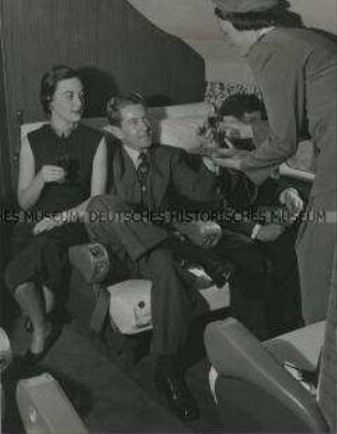
Bei einem Transpazifikflug der British Commonwealth Pacific Airlines werden Getränke serviert
British Colonies for British Wanderers
British.
British Policy in the Pacific.
THE ROUTES TO VANCOUVER ISLAND AND BRITISH COLUMBIA
Fliegende "Douglas DC 6" der British Commonwealth Pacific Airlines
The British Colonial Library : In 12 volumes, 10. History of the British Possessions in the Indian and Atlantic Oceans. - 1837
Canoe routes, British Columbia, 2. Aufl., Vancouver 1980: Douglas & McIntyre
Schlafende Passagiere bei einem Transpazifikflug der British Commonwealth Pacific Airlines
Tsunami and its hazards in the Indian and Pacific oceans
Central America shewing the proposed junctions of Atlantic & Pacific Oceans
Bei einem Transpazifikflug der British Commonwealth Pacific Airlines werden Speisen serviert
Bei einem Transpazifikflug der British Commonwealth Pacific Airlines werden Getränke serviert
British Colonies for British Wanderers