Verzeichnung
Plan von WITTMUND am alten Tief mit Einzeichnung einer Mühle, der Kirche und des Schloßplatzes Kolorierte Zeichnung von S. Börner Papier Format 61,5x48,0 M 1:1.900
- Reference number
-
Niedersächsisches Landesarchiv, NLA HA, Rep. 244, B Nr. 538
- Former reference number
-
Rep. 244, 1775 B
Rep. 244 B 1775
- Further information
-
Ergänzungen: Klassifikation TeilB: Wittmund
- Context
-
Kartensammlung >> 5 Regierungsbezirk Weser-Ems >> 18 Kreis Wittmund >> 5 Feldmarken, Stadt- und Ortspläne, Flurstücke
- Holding
-
Rep. 244 Kartensammlung
- Indexbegriff subject
-
Kirche Wittmund
Mühle Wittmund
Schloßplatz Wittmund
- Indexentry person
-
Börner, S.
- Indexentry place
-
Wittmund, Kirche
Wittmund, Mühle
Wittmund, Schloßplatz
Wittmund, Tief, altes
- Date of creation
-
- 1808
- Other object pages
- Last update
-
27.01.2023, 3:56 PM CET
Data provider
This object is provided by:
Niedersächsisches Landesarchiv. If you have any questions about the object, please contact the data provider.
Niedersächsisches Landesarchiv. If you have any questions about the object, please contact the data provider.
Object type
- Verzeichnung
Time of origin
- - 1808
Other Objects (12)

Beleuchtung des Schloßplatzes
Unterhaltung des Schlossplatzes
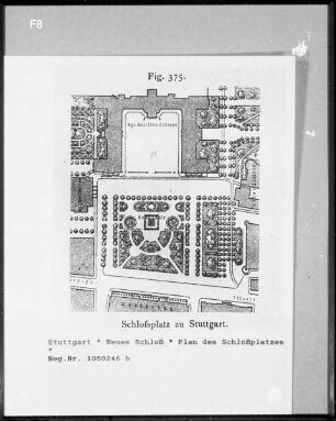
Plan des Schlossplatzes

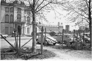
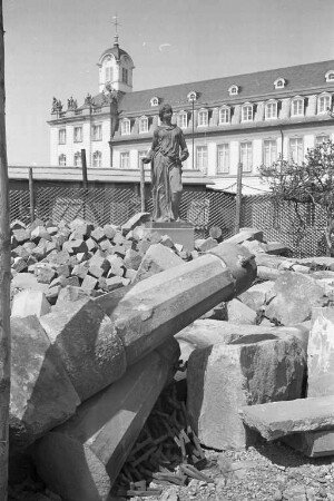
Umbau des Schlossplatzes.
Umbau des Schlossplatzes.
Neugestaltung des Schloßplatzes
Umbau des Schlossplatzes.
Umbau des Schlossplatzes.
Anlegung des Schlossplatzes
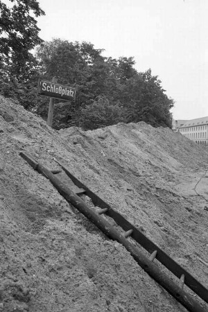
Pflasterung des Schlossplatzes
Ernennung zum Justizkommissar und Notar, Christian Georg Börner zu Wittmund Datierung: 1785
Stuttgart, Umgestaltung des Schlossplatzes
Beleuchtung des Schloßplatzes
Unterhaltung des Schlossplatzes
Plan des Schlossplatzes
Umbau des Schlossplatzes.
Umbau des Schlossplatzes.
Neugestaltung des Schloßplatzes
Umbau des Schlossplatzes.
Umbau des Schlossplatzes.
Anlegung des Schlossplatzes
Pflasterung des Schlossplatzes
Ernennung zum Justizkommissar und Notar, Christian Georg Börner zu Wittmund Datierung: 1785